What are the most hazardous driving routes around Las Vegas and Nevada?
Beyond the urban grid of Las Vegas, the state of Nevada features some of the most isolated desert highways and high-altitude mountain passes in the American Southwest. Driving these corridors requires preparation for extreme thermal shifts, sudden winter blizzards, and vast stretches without cell service or roadside assistance.
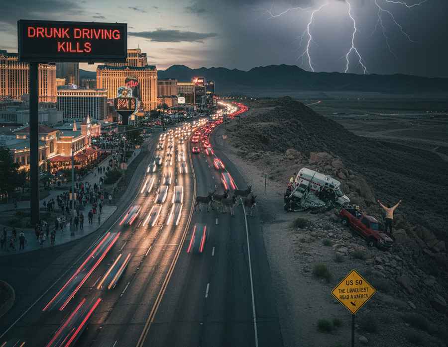
| Route Facts: Nevada & Regional Corridors | |
|---|---|
| US Route 50 | "Loneliest Road in America" — Extreme isolation, minimal services over 250 miles |
| NV State Route 431 | Mount Rose Hwy — Elevation >8,000 ft, up to 400 inches of annual snowfall |
| Virgin River Gorge (I-15) | Narrow canyon corridor, flash floods, and severe winter ice hazards |
| Red Rock Canyon Loop | 12.4-mile scenic track, steep drop-offs, sharp turns, no guardrails |
Why is driving the Las Vegas Strip high risk at night?
While technically an urban corridor, driving The Strip involves navigating one of the highest concentrations of impaired and distracted drivers in the United States. Multi-lane congestion, sudden lane changes, and heavy pedestrian density require constant defensive awareness, particularly during overnight hours when intoxication rates peak.
What makes Mount Rose Highway (SR 431) challenging in winter?
Climbing to an elevation of over 8,000 feet (2,438 meters) at Mount Rose Summit, Nevada State Route 431 is the highest year-round Sierra pass in the region. Severe winter storms bring up to 400 inches of snow, creating black ice, steep drop-offs without margins for error, and mandatory chain controls near the pass.
How dangerous is the Red Rock Canyon Scenic Drive?
Located just west of the city, the Red Rock Canyon Loop is a 12.4-mile one-way scenic route featuring sharp hairpin turns, steep gradients, and unshielded cliff edges. The road is shared with cyclists and wildlife, requiring strict speed control on downhill descents where brake overheating is common.
How isolated is US Route 50 across Nevada?
Known as "The Loneliest Road in America," the 250-mile Nevada stretch of US-50 crosses mountain ranges and vast desert basins. The primary hazard is extreme isolation: long gaps between service stations, total lack of cellular coverage, and severe temperature drops at night. Carrying extra water, fuel, and emergency supplies is mandatory before attempting the crossing.
Why is the Virgin River Gorge passage on I-15 high risk?
Carved through a narrow canyon near the Arizona border on Interstate 15, this high-speed corridor handles heavy truck traffic flanked by sheer rock walls. Flash flooding, high summer heat, and severe winter icing regularly trigger crashes, causing immediate road closures that strand motorists in a remote canyon setting for hours.