Navigating the Digital Age: The Evolution of Long-Distance Road Trips
The digital revolution has fundamentally altered the logistics of overlanding. While the "romance" of unfolding a paper map has been replaced by real-time satellite GPS, the internet has introduced a new paradox: we are more informed but often less prepared for the physical reality of the road. In extreme environments, over-reliance on digital tools can be as dangerous as having no information at all.
| Digital vs. Analog Navigation | |
|---|---|
| Primary Tool | Online Maps (Google/Waze) vs. Offline Vector Maps |
| Critical Failure | Lack of signal / Outdated seasonal closures |
| Safety Backup | Satellite Messengers (Garmin/Zoleo) |
| Best Practice | Hybrid planning (Digital Research + Physical Backup) |
1. The Evolution of Route Intelligence
Pre-internet, route planning relied on physical topographic maps, specialized driving clubs, and local knowledge. Today, crowdsourced data and satellite imagery allow us to inspect the hairpin turns of a pass in the Himalayas or the Andes before even starting the engine. This "democratization of danger" has made remote routes more accessible, but it also lures under-equipped drivers into terrains that require more than just a high-speed data connection.
2. The Trap of Real-Time Navigation
Google Maps and similar apps have revolutionized urban driving, but they are notoriously unreliable on high-altitude passes and unpaved tracks. These algorithms often fail to account for seasonal road closures, landslide damage, or gradients that are impassable for standard vehicles. The internet has changed road trips by providing efficiency, but the seasoned traveler knows that offline, pre-loaded vector maps and dedicated GPS hardware are still the only reliable tools when the cell towers disappear.
3. Digital Booking vs. Spontaneous Exploration
The ability to secure a bed or a campsite from a smartphone has eliminated the stress of the unknown, but it has also "sanitized" the traditional road trip. Before the internet, finding a place to stay involved interacting with locals, which often led to discovering undocumented routes and hidden gems. While online reviews help avoid bad experiences, they often funnel all travelers to the same high-traffic spots, making true isolation harder to find.
4. Sharing the Experience in Real-Time
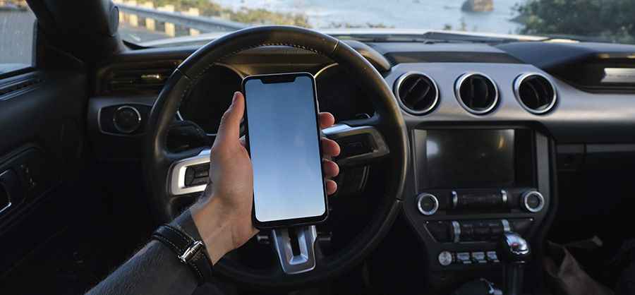
The shift from point-and-shoot cameras to instant social media sharing has changed why we travel. Documenting a journey through high-risk roads now serves as a real-time logbook for friends and family, providing a layer of safety through location tracking. However, the pressure to "capture the moment" can lead to dangerous distractions. On perilous roads, the priority must always remain on the steering wheel, not the screen.
5. Informed Decision Making and Risk Assessment
Perhaps the greatest benefit of the internet is the ability to compare vehicle capabilities and gear performance through community forums and expert databases. We can now research how a specific 4x4 handles the thin air of an alpine pass or the mud of a rainforest before we set out. This collective intelligence makes modern expeditions significantly safer, provided the driver can filter out misinformation from genuine expert advice.
Conclusion
Internet connectivity has made road trips safer, cheaper, and more predictable. Yet, the core of a great journey remains the same: the relationship between the driver, the machine, and the unpredictable nature of the road. Use the digital tools to plan, but rely on your instincts and physical preparation to survive.