Is Missouri Highway 63 the most dangerous road in the state?
While advancements in vehicles and road safety have made driving generally safer in the USA, certain roads, like Missouri's Highway 63, remain hazardous even in modern times.
When was Missouri Highway 63 built?
Established in 1926, Highway 63, although undergoing some improvements over the past nine decades, is in dire need of a significant overhaul. With a cost projection of $300 million, the aim would be to transform it from a two-lane highway, which currently snakes through Missouri farmland, to a four-lane dual carriageway system. The present two-lane configuration is a major contributor to vehicular accidents, with 158 reported collisions between 2009 and 2019, many caused by attempts to pass or merge onto the highway.
How long is Missouri Highway 63?
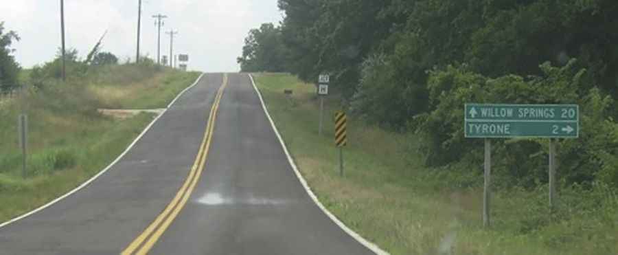
Spanning 337 miles (543km), the highway traverses several small townships, including Vichy, a once-thriving rest stop now reduced to a mere gas refilling station, and Vienna, known for its historical significance as a settlement for German and Austrian immigrants.
Where does Missouri Highway 63 start and end?
Missouri’s Highway 63, notorious as the state’s deadliest route, winds its way from the Arkansas state line near Thayer to the Iowa border close to Lancaster. Remarkably, this perilous road runs through Missouri's capital, Jefferson City, with the alarming risks seemingly unnoticed by the state's policymakers.
How dangerous is Missouri Highway 63?
From 2009 to 2019, this highway witnessed 179 fatalities, averaging nearly 20 deaths annually. It extends through 13 counties, some of which face economic challenges, leading to sporadic maintenance and increasing the risks.