What are the 8 northernmost roads in the world?
mere pathways; they are fragile lifelines carved through permafrost and Arctic tundra, reaching latitudes where the compass starts to fail.
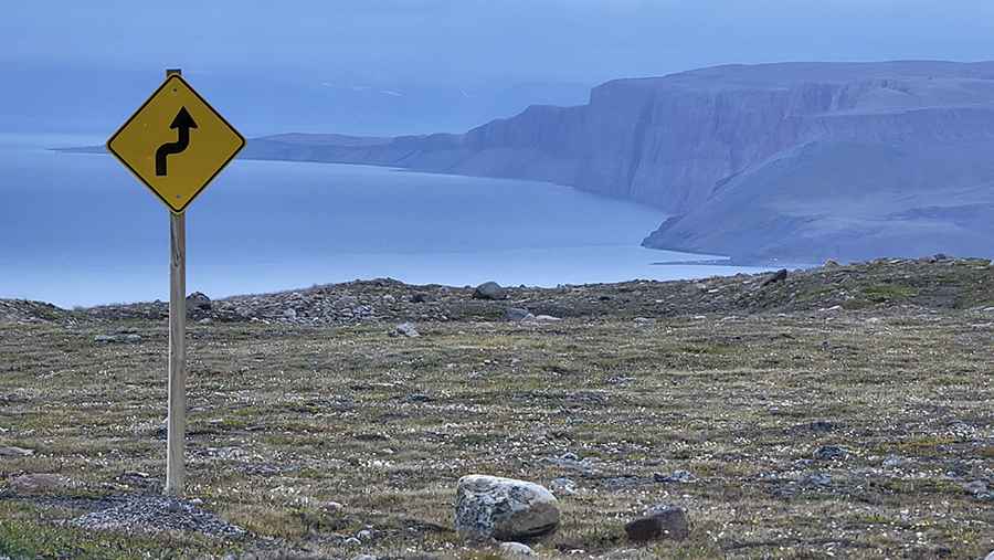
From the remote gravel tracks of Canada and Russia to the salt-battered cliffs of Northern Norway, these 8 routes represent the northern limit of the global road network. Reaching these coordinates requires more than just a sturdy 4x4; it demands extreme preparation against sub-zero temperatures and total isolation.
Where are the world's northernmost roads?
Stretching across Europe and North America, these roads carve their paths through Russia, Norway, Canada, and the USA. Excluding isolated military bases and Arctic archipelagos like Svalbard, there's a closer look at the world’s northernmost routes:
| Settlement | Country | Latitude | Road |
|---|---|---|---|
| Nanisivik | Canada | 73° 04'N | Nanisivik Highway |
| Anabar Bay | Russia | 72° 49'N | Road to Anabar |
| Rogachevo | Russia | 71°36'N | Rogachevo-Belushya Guba |
| Nordkapp | Norway | 71° 10'N | Nordkapp Road |
| Slettnes fyr | Norway | 71º 05'N | Road to Slettnes fyr |
| Prudhoe Bay | USA | 70° 19'N | Dalton Highway |
| Vayda-Guba | Russia | 69° 56'N | Road to Vayda-Guba |
| Tuktoyaktuk | Canada | 69° 26'N | Inuvik–Tuktoyaktuk Highway |
Pic: Olivier Forbes-Bouillon
TuktoyaktukCanada69° 27' N