How to drive the unpaved road to Vanrooyshoogte Pass?
Vanrooyshoogte Pass is a high mountain pass at an elevation of 2.023m (6,637ft) above sea level, located in the Free State, in South Africa.
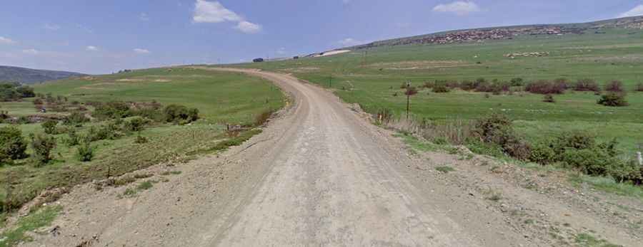
Is the road to Vanrooyshoogte Pass unpaved?
Located in the eastern part of the country, the road through the pass is totally unpaved. It’s called R722. Most passenger vehicles can handle the road in dry conditions. The road includes some steep sections (1:7).
How long is the road to Vanrooyshoogte Pass?
The road is 43km long running north-south from Memel (a town close to the provincial boundaries of both kwaZulu-Natal and Mpumalanga, situated some 1,730 metres above sea level) to Verkykerskop (a town in Phumelela Local Municipality).
Is the road to Vanrooyshoogte Pass open year-round?
At this elevation, the road is subject to winter snowfalls.