How to drive to Masjiennek Pass in Mpumalanga?
Masjiennek Pass is a high mountain pass at an elevation of 2,090m (6,856ft) above sea level, located in the Mpumalanga province of South Africa. It is one of the highest paved passes in the region, offering dramatic views of the Drakensberg escarpment.
Where is Masjiennek Pass?
The pass—whose name translates from Afrikaans as "Machine Neck"—is situated in the northeastern part of the country, just west of the famous Long Tom Pass. The route runs through the Makobulaan Nature Reserve, a protected area known for its unique high-altitude flora and rocky landscapes.
🇿🇦 Masjiennek Pass Technical Data
| Elevation | 2,090m (6,856ft) |
| Max Gradient | 1:10 (10%) |
| Distance | 55 km (34 miles) |
| Route | R37 (Sabie to Mashishing) |
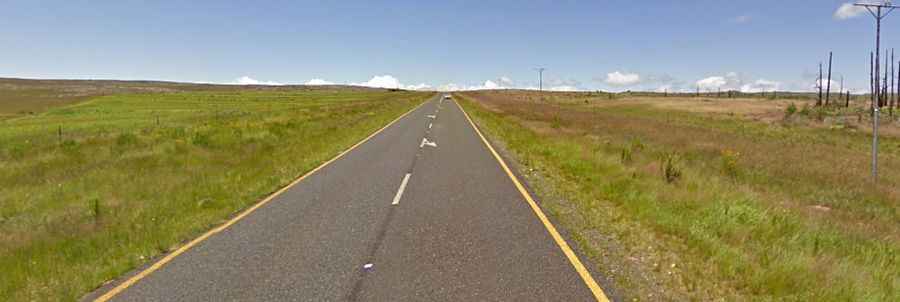
Is Masjiennek Pass paved?
The road through the pass is fully paved (R37 highway) and is generally in excellent condition due to high-quality engineering. However, it is a demanding drive characterized by innumerable twists and turns. Drivers should be prepared for steep sections with gradients reaching 1:10 (10%). The pass is subject to occasional winter snowfalls, which can make the asphalt slippery.
How long is Masjiennek Pass?
The road spanning the pass is 55 km (34 miles) long, running east-west between the forestry town of Sabie (on the banks of the Sabie River) and Lydenburg (officially renamed Mashishing).
Driving Hazards: Fog and Heavy Traffic
Two major factors make Masjiennek Pass a challenging drive:
- Dense Mountain Fog: The area is frequently hit by sudden, thick mist that can reduce visibility to just a few meters.
- Commercial Vehicles: As a vital link for the region's economy, the R37 carries substantial traffic from large mining and timber transport trucks. Overtaking requires extreme caution due to the curvy nature of the road.