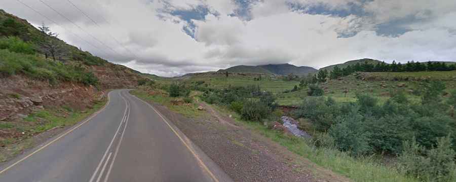
Driving the challenging road to Qacha's Nek border
Qacha's Nek is an international high mountain pass at an elevation of 1.989m (6,525ft) above sea level, located on the border of Lesotho and South Africa.
Where is Qacha's Nek?
The pass links Qacha's Nek district of Lesotho and the Eastern Cape Province of South Africa. Go prepared for severe weather, including thunderstorms, electrical storms, rain, mist or snow. There is not much traffic between the two countries at this stage.
How long is the road to Qacha's Nek border?
The pass is 35.9 km (22.30 miles) long, running from the town of Qacha's Nek to Matatiele, in the northern part of the Eastern Cape Province of South Africa.
Is Qacha's Nek border paved?
In Lesotho, the road is all paved in great condition. It’s rather short and an easy climb. In South Africa, it is a rather rough dirt track in bad shape but navigable by most of passenger vehicles and doable in a sedan. It’s a long, gravel road, high altitude pass leading to the border control point with Lesotho at the town of the same name.