Driving the paved road to Griffin's Hill Pass in KwaZulu-Natal
Griffin's Hill Pass is a high mountain pass at an elevation of 1,590m (5,217ft) above sea level, in the KwaZulu-Natal province of South Africa.
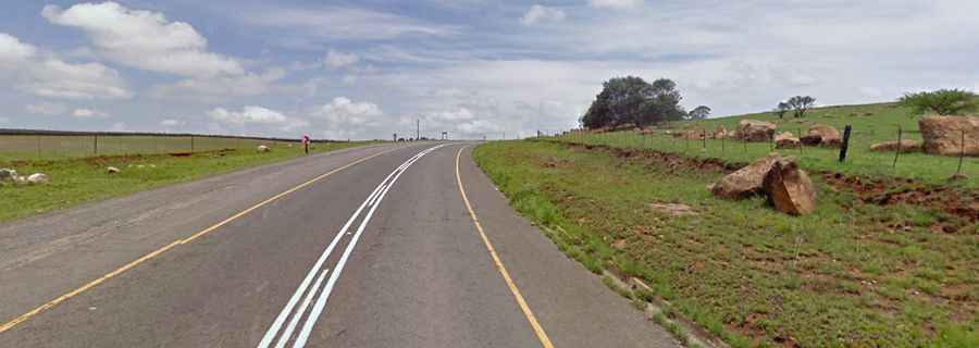
Is the road to Griffin's Hill Pass paved?
Set high in the eastern part of the country, the road to the summit is totally paved. It’s called Regional Road R103.
Is Griffin's Hill Pass open in winter?
The R103 route, which is the old national road between Johannesburg and Durban, is usually open year-round. It is a fairly safe pass with an altitude gain of 279m to the summit. This puts it well above the snow line, and the road is occasionally closed to traffic during heavy snowfalls.
How long is Griffin's Hill Pass?
The pass is 48.6 km (30.19 miles) long, running south to north from Mooi River to Frere (named after Sir Henry Bartle Frere, Governor of Cape Colony from 1877 to 1880).