If you love to drive, you will love the road to Penhoek Pass
Penhoek Pass is a high mountain pass at an elevation of 1,852 m (6,076 ft) above sea level, located in the Eastern Cape province of South Africa.
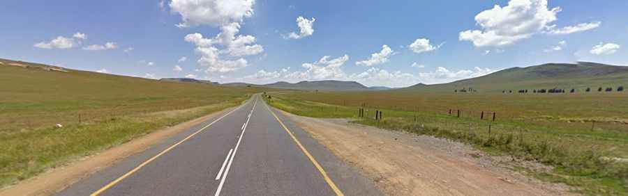
Is Penhoek Pass paved?
Set high in the southern part of the country, the road through the summit is fully paved. It’s called the N6 National Route.
How long is Penhoek Pass?
The road through the summit is 114 km (71 miles) long, running north-south from Jamestown to Komani. The current road was built in 1952, featuring perfectly banked corners, deep cuttings, and easy gradients. The road has steep parts, hitting a maximum gradient of 1:10 through some of the ramps.
What’s the weather like in Penhoek Pass?
Set high in the Stormberg Mountains, the road is often closed in winter when snowfalls hit the area. Conditions can change quickly and be harsh. Road closures can be frequent, so check conditions before traveling to this area. The pass has a ferocious reputation for producing violent weather. In summer, you can expect intense electrical storms with frequent large hailstones, and in winter, deep snowfalls and freezing temperatures are the norm.