Travel Guide to Joubert's Pass in the Witteberg Mountains
Joubert's Pass is a high mountain pass at an elevation of 2,234m (7,329ft) above sea level, located in the Eastern Cape province of South Africa, near the border with Lesotho.
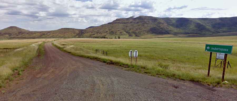
Is Joubert's Pass unpaved?
Set high in the Witteberg Mountains, the road to the summit, also known as Jouberts Pass and Joubertspass, is entirely unpaved. The pass is suitable for all vehicles in fair weather, but if there is heavy rain or snow on the pass, a 4x4 vehicle is required.
How long is Joubert's Pass?
Located to the east of Lady Grey, the pass is 50.9 km (31.62 miles) long, starting and ending on the paved R58 road. The road passes through beautiful farmlands before rising up through the Lammergeier Nature Reserve.
Is the road through Joubert's Pass challenging?
The road is not easy. It has a maximum gradient of 1:6. It has all the elements of steep gradients, rough surfaces, grandiose views, high altitudes, extreme weather, and careful driving to make it onto the Top 20 list of South African gravel road passes. This road is usually open all year round, but it can be closed anytime when the access is not cleared of snow.
Why is it called Joubert's Pass?
The road through the pass was opened in 1914, and it was built by seven farmers, five of whom had the surname Joubert (hence the name). At the summit, there is a stone monument inscribed with the names of several Joubert family members plus two others.