How to drive the paved R63 road to Ouberg Pass in Eastern Cape?
Ouberg Pass is a mountain pass at an elevation of 1,165m (3,822ft) above sea level, located in the Eastern Cape Province of South Africa.
Where is Ouberg Pass in Eastern Cape?
The pass, also known as Oude Berg Pass, is located in the south-central part of the country. Don’t get confused, as there are another 2 mountain passes with the same name in the country (in the Northern Cape and Western Cape).
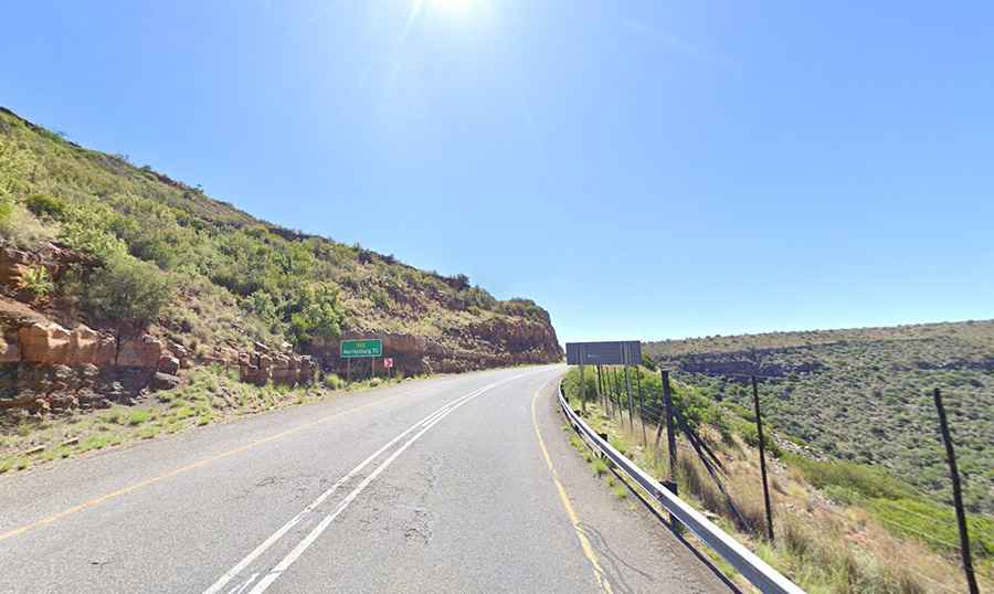
Is Ouberg Pass in Eastern Cape paved?
The road through the pass is fully paved in very good condition. It’s called Regional Road R63. It’s a very scenic road, with incredible views, that comprises a few turns and steep sections. It’s suitable for all vehicles.
How long is Ouberg Pass in Eastern Cape?
The road is 90km (55 miles) long, running east-west from Graaff-Reinet (the fourth oldest town in South Africa) to Murraysburg (in the far northeast of the Western Cape province).