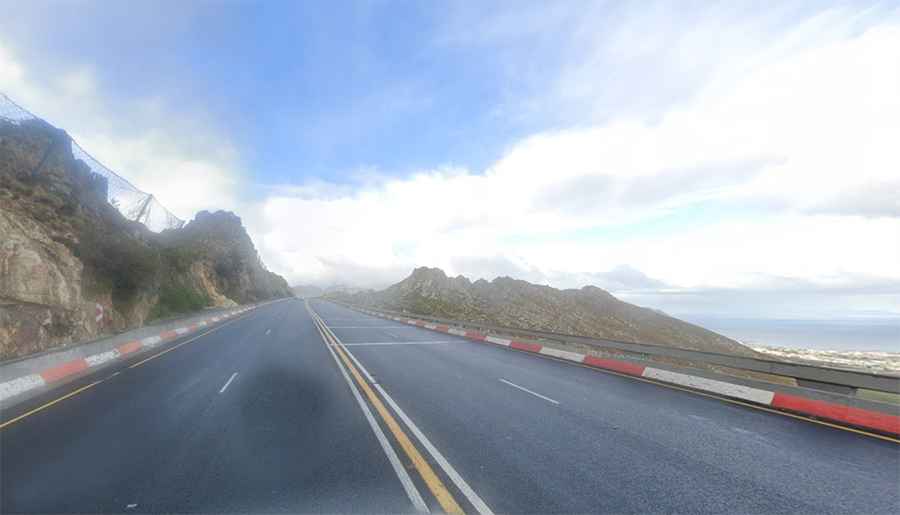
Driving the paved N2 National Road in the Western Cape through Sir Lowry's Pass
Sir Lowry's Pass is a mountain pass at an elevation of 460m (1,509ft) above sea level, located in the Western Cape province of South Africa. The road through the pass was paved by the 1930s.
Where is Sir Lowry's Pass?
The pass is located south of Cape Town on South Africa’s southwest coast, between Somerset West and the Elgin Valley. Sir Lowry's Pass Village lies near the southern base of the pass.
Why is it called Sir Lowry's Pass?
The pass is named after Sir Galbraith Lowry Cole, Governor of the Cape Colony in 1828.
When was Sir Lowry's Pass built?
Originally known as Gantouw Pass by the indigenous Khoi people, the route was used as a stock path and later followed by early settlers as the Hottentots Holland Kloof Pass. By 1821, it saw heavy use, with 4,500 ox-wagons per year, though over 20% of them suffered damage due to the harsh terrain.
To improve the dangerous crossing, construction of a new pass began in 1828, led by engineer Charles Michell using convict labor. Opened in 1830 and named Lowry’s Pass, it provided a safer, more reliable route for wagons. The project was funded partially through a toll-house at the summit, which helped recover construction costs and stimulated local economic activity.
Further enhancements followed:
• 1902: A railway line was built parallel to the road, with a level crossing added.
• 1930s: The pass was widened and tarred to accommodate growing traffic.
• 1956: Another widening phase improved flow and safety.
• 1984: The upper section was upgraded to four lanes with reinforced concrete, at a cost of R4.5 million.
Is the road through Sir Lowry's Pass paved?
The road through the pass is fully paved. It’s called the N2. At 2,255 kilometres (1,401 mi) long, the road running from Cape Town to Ermelo is said to be the longest numbered route in South Africa. It runs from the coastal areas to the interior of South Africa.
How challenging is Sir Lowry's Pass?
Set high in the Hottentots Holland Mountains, the pass is 4 lanes wide and includes some very steep sections. It’s heavily used by vehicles, especially at the start and end of holiday periods and long weekends, when many people travel in and out of the Cape Town area, and is sometimes seen as an accident black spot.
Is Sir Lowry's Pass worth the drive?
Near the summit, there’s a viewpoint with stunning views. It’s also used as a paragliding launch point. Today, you can undertake a relatively easy hike to the original ox-wagon trail (3.6 km round trip)—it starts close to the Steenbras Dam gate. A set of old ox-wagon tracks can apparently still be seen on the old Gantouw Pass, which was declared a national monument in the 1950s.