How to drive the road through Monontsha Pass?
Monontsha Pass is a high mountain pass at an elevation of 2.247m (7,372ft) above sea level, located on the border of South Africa and Lesotho.
Where is Monontsha Pass?
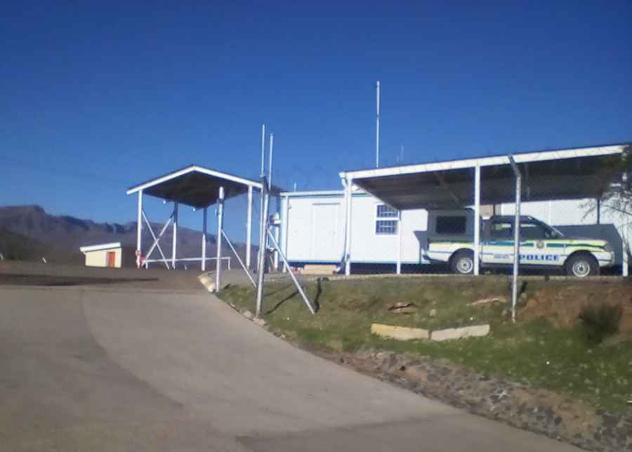
The pass is located on the border between the eastern Free State province of South Africa and the Butha-Buthe district of the Kingdom of Lesotho over the steep escarpment which separates the two countries. This border post between South Africa and Lesotho is not very busy. On the South African side, there is a border post, the Monantsa Pass Border control, but there is no border control point on the Lesotho side of the border.
How long is the road through Monontsha Pass?
The pass is 24.5km (15.22 miles) long running east-west from Monontsha (a rural village in South Africa) to Libono (a small town in Lesotho).
Is the road through Monontsha Pass paved?
The road to the summit, also known as Monantsapas, is paved on the South African side and unpaved on the Lesotho side. In South Africa, the road is called Provincial Road S1579. It was paved around 2020. The drive can be completed in any vehicle (except perhaps in snowy conditions). In Lesotho, the road is entirely unpaved, and a 4x4 vehicle is strongly recommended due to the conditions of the road and numerous river crossings.
Pic: SEEMA JAMES MOKOENA