Among Volcanic Giants: RN4 / NR2 Musanze to Rubavu
RN4 (NR2) is a scenic paved corridor running along the flanks of giant volcanic peaks, offering a key mountain connection between Rwanda's northern highlands and Lake Kivu.
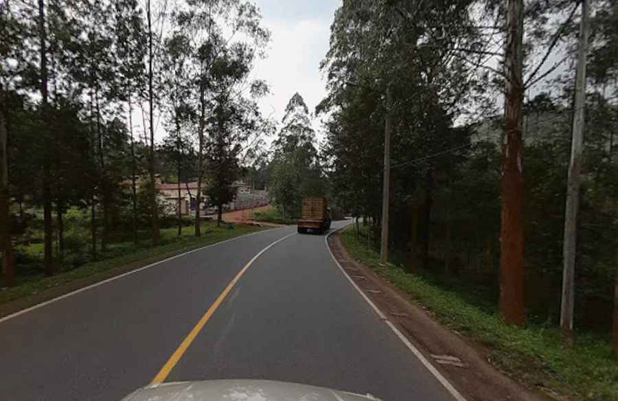
| Location | Northern & Western Provinces (Border with D.R. Congo, Rwanda) |
| Road | RN4 / NR2 (National Route 2) |
| Surface | Paved |
| Max Elevation | ~2,280 m (7,480 ft) |
Where does the RN4 (NR2) lead?
This high-altitude paved corridor (designated as NR2 on Google Maps) skirts the base of the majestic Virunga mountain range, passing close to major peaks like Mount Karisimbi (4,507 m) to connect Musanze with Rubavu on the shores of Lake Kivu.
What are the driving conditions on the RN4 (NR2)?
The route features steep gradients, sharp radii, and tight switchbacks that require constant attention.
Is there heavy traffic on the RN4 (NR2)?
Commercial truck traffic is common along this stretch, requiring careful gear management and intensive engine braking on long downhill sections.