How to drive the unpaved road to Jebel Tattiouine?
Jebel Tattiouine is a high mountain peak at an elevation of 3.211m (10,534ft) above sea level, located in Midelt Province, in Morocco. It’s one of the highest roads in the country.
Where is Jebel Tattiouine?
The pass is located south of Midelt, in the Drâa-Tafilalet Region, in the central part of the country.
Is Jebel Tattiouine unpaved?
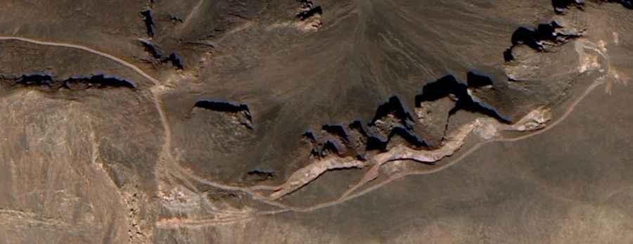
The road to the summit is totally unpaved and a 4x4 vehicle is required. It’s not an easy drive, with narrow parts and steep sections, hitting a 16% of maximum gradient through some of the ramps. It features many dangerous drops.
How long is the road to Jebel Tattiouine?
Starting from Taaraarte, the road to the summit is 22.2 km long. Over this distance, the elevation gain is 1132 m and the average gradient is 5.09%.
Is Jebel Tattiouine open year-round?
Set high in the Atlas mountain range, the road is impassable in winters. Keep in mind it is very hot in summers.