Tizi Tguerselt: Driving the Extreme 20% Gradients in the High Atlas
Tizi Tguerselt is a high mountain peak at an elevation of 2,634m (8,641ft) above sea level located in the Midelt Province of Morocco. It is one of the highest roads in the country.
| Road facts: Tizi Tguerselt | |
|---|---|
| Location | Midelt Province, Morocco |
| Elevation | 2,634 m (8,641 ft) |
| Length | 4.4 km (2.7 miles) |
| Elevation Gain | 528 m |
| Avg Gradient | 12% |
| Max Gradient | 20% |
How long is the road to Tizi Tguerselt?
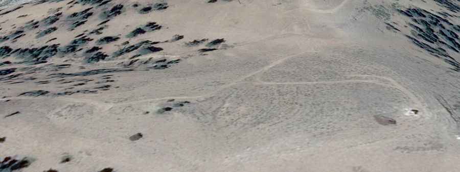
The road to the summit starts at a junction on the Tizi Bou Taouelt pass (P7318 Road). The ascent is 4.4 km (2.7 miles) long and gains 528 meters in vertical distance. The average gradient is 12%, but several sections are significantly steeper, reaching a maximum gradient of 20%.
Can I drive my vehicle on the road to Tizi Tguerselt?
The track is a dead-end spur used to reach the summit ridges of the eastern High Atlas. Due to the combination of loose surface and extreme steepness, low-range gearing and high-clearance 4x4 are required.
Is the road to Tizi Tguerselt unpaved?
The road is totally unpaved. The terrain consists of dry soil and large, sharp rocks. The track lacks any safety barriers or guardrails. The road is narrow, often limited to a single vehicle width, with steep drops along the shoulder.
When is the best time to drive to Tizi Tguerselt?
Located within the Drâa-Tafilalet region, high summer temperatures put extreme stress on vehicle cooling systems, and there is no shade, no water, and no mobile phone coverage along the route. It is recommended to never drive this trail alone. In winter, heavy snow typically blocks the track above 2,200 meters.