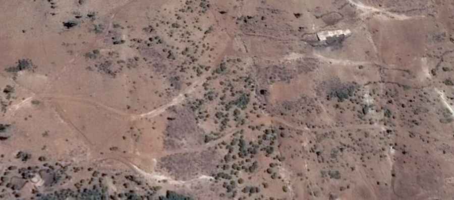
Tizi n’Ighil: Driving the 2,541m high desert track from Assaka
Tizi n’Ighil is a high mountain pass at an elevation of 2,541m (8,336ft) above sea level, located in the Midelt Province of Morocco. The road to the summit is a raw, unpaved track that cuts through the desert environment of the High Atlas. This 10.6 km route is a test for any 4x4 vehicle due to the loose surface and the total isolation of the area.
| Road facts: Tizi n’Ighil | |
|---|---|
| Location | Midelt Province, Atlas Mountains, Morocco |
| Elevation | 2,541 m (8,336 ft) |
| Length | 10.6 km (6.58 miles) |
| Max Gradient | 5.74% |
How is the road to Tizi n’Ighil?
The climb starts in Assaka and covers 10.6 km of rough terrain. The track is made of hard bedrock, loose scree, and sandy patches that can swallow the tires of a standard car. You need a high-clearance 4x4 to clear the 8 sharp hairpins, which are often narrow and broken by erosion. Since the road gets no maintenance, heavy rains frequently leave deep ruts and boulders right in the middle of the path.
What are the driving hazards on Tizi n’Ighil?
Heat and mechanical breakdown are your main enemies here. In summer, temperatures in the Midelt desert can top 40°C, which can make your engine boil on the steep ramps. There is no mobile signal and no one to call for help. If you break an axle or blow a tire on these rocky inclines, you are on your own. Sudden dust storms can also blind you in seconds, and if it rains, the lower wadis can turn into flash floods that wash away the track.
Is the road to Tizi n’Ighil open year-round?
The pass is usually clear of snow, but the 2,541m altitude means it can freeze or even snow during the winter, making the 8 hairpins impassable. In the middle of summer, the heat is too much for most cooling systems on a slow 10.6 km crawl. You must carry plenty of water and ensure your radiator is in perfect shape before leaving Assaka; a failure at this altitude is a critical emergency.
How to drive the 10.6 km Tizi n’Ighil route safely?
Use low-range 4WD for the rocky sections to keep your torque steady without overheating the transmission. On the 8 hairpins, keep moving to avoid spinning your wheels on the loose desert stones. When coming back down, use engine braking to keep the 5.74% slope from cooking your brakes. Always check your tire pressure and carry a full-size spare; the sharp shale on Tizi n’Ighil is known for slicing sidewalls. Driving with a second vehicle is the only way to ensure you don't get stranded in the Atlas.