Jebel Toujit: Driving the 4x4 track to the 2,322m peak
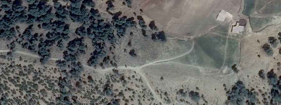
Jebel Toujit is a high mountain peak at an elevation of 2,322m (7,618ft) above sea level, located in the Taounate Province of northern Morocco. The access route is an unpaved mountain track that serves the summit within the Taza-Al Hoceima-Taounate region. This climb is a grind for any vehicle, requiring a full 4x4 setup to handle the loose stones and the vertical gain of 760 meters.
| Road facts: Jebel Toujit | |
|---|---|
| Location | Taounate Province, Morocco |
| Elevation | 2,322 m (7,618 ft) |
| Length | 13.4 km (8.32 miles) |
| Surface | Unpaved / Gravel and Rock |
How is the road to Jebel Toujit?
The 13.4 km track starts from the P7318 road, near Bou Adel. The entire route is unpaved, with a surface made of loose gravel and sharp limestone rocks that move under the tires. Over the 13.4 km, you face a constant incline with an average gradient of 5.67%, though many sections are much steeper. High ground clearance is mandatory; a standard car will hit the underbody on the jagged rocks and deep ruts left by the rain.
What are the main hazards on the Jebel Toujit track?
The track is very narrow and has no safety barriers, leaving you exposed to steep drops on the side of the ridge. Traction is the biggest problem, as the loose debris on the ramps makes the wheels spin easily. In the rainy season, the ground in Taounate becomes soft and unstable, leading to washouts that can take out half the track. At the summit, high winds are common and can shake the vehicle on the most exposed ridges.
Is the road to Jebel Toujit open year-round?
No. Snow and ice block the track at 2,322m during the winter months, and there are no plows to clear it. The road usually stays closed until late spring. In summer, the heat in this part of Morocco is brutal, putting massive stress on the engine's cooling system during the slow 13.4 km climb. There is no fuel, water, or help available once you leave Bou Adel, so you must carry everything you need to survive a breakdown.
How to drive to Jebel Toujit safely?
You need to use low-range gearing to keep the engine in the power band without overheating. On the way down, rely on engine braking to manage the 5.67% slope; riding the brakes will cook them before you get halfway. Check your tire pressure before starting to avoid punctures from the limestone fragments, and make sure your suspension is tight, as the constant vibration over the rocks will rattle any loose bolt until it falls off.