How to drive the unpaved road to Lac d’Isli in Midelt Province
Located in the Midelt Province of Morocco, Lac d’Isli is a high-altitude crater lake situated at 2,313m (7,588ft) above sea level.
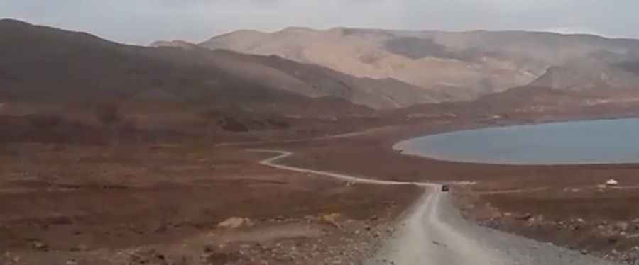
| Road facts: Lac d’Isli | |
|---|---|
| Location | Midelt Province, Morocco |
| Elevation | 2,313 m (7,588 ft) |
| Length | 9.6 km (5.96 miles) from R317 |
| Surface | Unpaved / Shale and loose rock |
| Vehicle Requirement | 4x4 with high clearance |
Where is Lac d’Isli?
The lake is located in the central part of the country, within the Haut Atlas Oriental National Park.
Is the road to Lac d’Isli unpaved?
It is a completely unpaved route with hard-packed dirt and sharp shale. While it doesn't have extreme mountain passes, the terrain is rough. You need a 4x4 with good ground clearance because the track often has deep ruts caused by water runoff. The surface is abrasive, so tires must be in good condition to handle the sharp stones typical of this part of the High Atlas. There are no guardrails, and the loose gravel on the edges can be unstable if you get too close. You’ll also find nomadic livestock on the road, so keep the speed down.
How long is the road to Lac d’Isli?
The track to Lac d’Isli starts from the R317 near Lac de Tislit and covers 9.6 km (5.96 miles).
Is the road to Lac d’Isli open during the winter?
Set high in the High Atlas, the track to Lac d’Isli is often blocked by snow from December to March. Even when the sun is out, ice stays in the ruts for a long time due to the altitude. In summer, the problem is the dust and the heat. There are no fuel stations or mechanics on these 9.6 km.
Pic&video: Hafid Tours