Route de Tisemlale
Route de Tisemlale is a high mountain road located in the Rif Mountains of northwest Morocco. Its highest point is at 1.745m above the sea level.
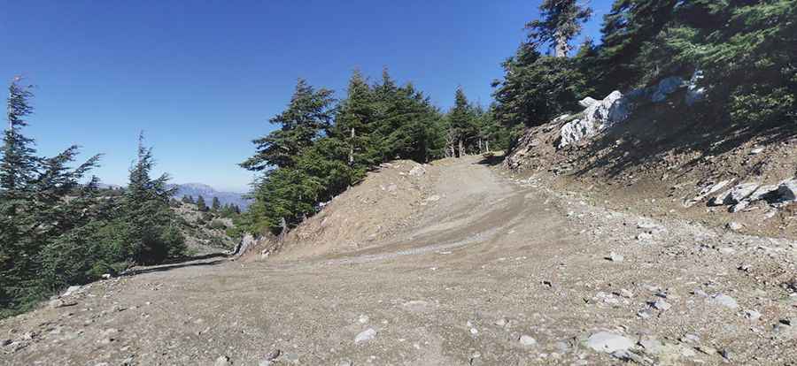
The road runs within the Parc National Talassemtane. The name means ‘cold spring’ in Berber. The dirt road is 43.5 km long. The surface is gravel and rocky. 4x4 recommended. The road is usually impassable in winters. Great trail for experienced wheelers. Avoid driving in this area if unpaved mountain roads aren't your strong point.
Wet conditions may make for tough driving along the muddy road. Located in the Chefchaouen province, the road links the town of Bab Taza and the Chefchaouen (or Chaouen) city. With its splendid landscapes, its plant and rare animal species, Talassemtane national park is a site of dream for ecological tourism. The first part of the road is pretty steep. Starting from Bab Taza at 889m above the sea level, the trail climbs up to Jebel L'kraa, at 1.745m above the sea level. The ascent is 13.4km long with an elevation gain of 856m. The average gradient is 6.38%.
Pic: Najib Bartelt