A high mountain road to Tizi N´Talghaumt in the Atlas
Tizi N´Talghaumt is a mountain pass located at an elevation of 1,907m (6,256ft) above sea level in central Morocco.
Where is Tizi N´Talghaumt?
The pass is located on the border between Errachidia province (Dra-Tafilalt region) and Khénifra province (Béni Mellal-Khénifra region).
Is Tizi N´Talghaumt paved?
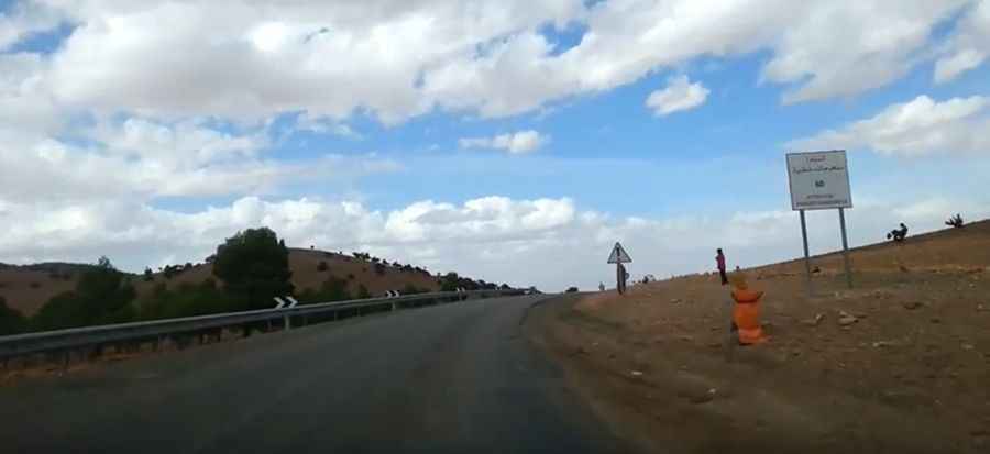
Situated between the Middle Atlas and High Atlas mountain ranges, the road to the summit, also known as Route Nationale N°13 (N-13), is fully paved and generally in good condition, although it has steep sections.
How long is Tizi N´Talghaumt?
The pass is 50.8 km (31.56 miles) long, running from Ait El Abbass (in the south) to Midelt (in the north).
Is the road to Tizi N´Talghaumt worth the drive?
This winding route provides a scenic journey with great views of rugged cliffs, deep gorges, and lush valleys. From the summit, you can enjoy vistas of the surrounding mountains and valleys. At the top, a minor gravel road leads to Tizi n’Taroubia, at 2,339m (7,673ft) above sea level.
Pic: BAHJA Khalid