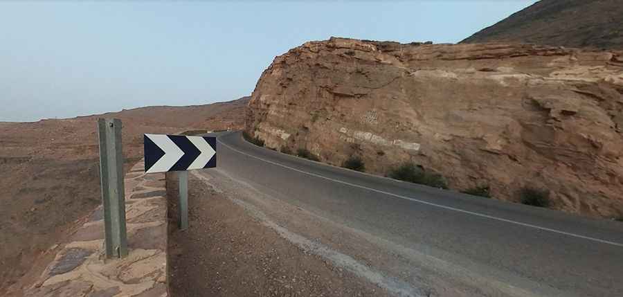
A scenic paved road to Tizi n'Tinififft in the Atlas Mountains
Tizi-n-Tinififft is a high mountain pass at an elevation of 1,693 m (5,554 ft) above sea level, located in the Drâa-Tafilalet region of Morocco.
Where is Tizi n'Tinififft?
The pass is located in the mid-southeastern part of the country, in the Atlas Mountains.
When was the road through Tizi n'Tinififft built?
The road was built as a military highway in 1936 by the French. Along the road, there are many parking lots featuring stunning views.
Is the road to Tizi n'Tinififft paved?
The road to the summit is fully paved. It’s called Route Nationale 9 (formerly Route P-31). Definitely more interesting than the pass itself is the descent through a few twists over the canyon and through small oases in the direction of the town of Agdz.
How long is the road to Tizi n'Tinififft?
The pass is 24.9 km (15.47 miles) long, running from Agdz (also spelled Agdez) to Ait Saoun.
Is the road to Tizi n'Tinififft difficult?
The road features steep sections, reaching a maximum gradient of 7% in some areas. It has recently been rebuilt with bends being cut through and is now much faster, wider, and straighter, as part of significant road improvements to the N9 from Marrakech to Zagora.
Road suggested by: Martin Dady
Pic: Tom Baetsen