How to drive the unpaved road from Achdir to Tandilte in the Atlas?
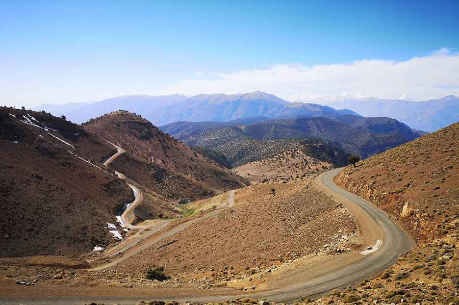
Straddling the Marrakesh-Safi and Souss-Massa regions of Morocco, the high-mountain road from Achdir to Tandilte is a challenging unpaved drive through the Atlas range. The mountain track reaches a maximum elevation of 2,551 meters (8,369 ft) above sea level.
| Road facts: Achdir to Tandilte | |
|---|---|
| Location | Marrakesh-Safi / Souss-Massa (Morocco) |
| Max Elevation | 2,551 m (8,369 ft) |
| Length | ~30 km (18.6 miles) |
| Surface | Unpaved (Compacted dirt and loose gravel) |
Is the road from Achdir to Tandilte unpaved?
The road is unpaved with compacted dirt, loose gravel, and loose scree patches. In good weather, the road is drivable by most passenger vehicles. It features very narrow parts, many turns, and steep sections.
How long is the road from Achdir to Tandilte?
Located in the west-central part of the country, the road is about 30km long, running west-east from Achdir to Tandilte.
Is the road from Achdir to Tandilte open year-round?
Set high in the Atlas, the road is usually impassable in winter. It climbs up to:
- Tizi n'Afra: A high mountain pass at an elevation of 2,523m (8,277ft) above sea level, also known as Tizi n’Oufra.
- Tizi n'Isakalene: A high mountain pass at an elevation of 2,551m (8,369ft) above sea level, also known as Issakaten.
- Tizi n'Tagdit: A high mountain pass at an elevation of 2,256m (7,401ft) above sea level.
Pic: Tadej Fartelj