How To Travel The Lebelonyana Pass
Lebelonyana Pass is a high mountain pass at an elevation of 2,463m (8,080ft) above sea level, located in the Quthing district of Lesotho.
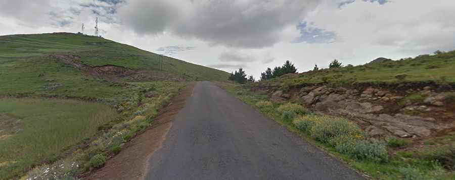
Is Lebelonyana Pass paved?
The curvy road to the summit is totally paved (in bad condition), pretty narrow and steep, hitting gradients of 1:6 through some of the ramps. It’s called A4 Road. It’s a long, gradual and steep climb on the western side, and the eastern side is shorter with some ups and downs.
How long is Lebelonyana Pass?
The pass road is 42.0 km (26.09 miles) long, running west-east from Mount Moorosi to Mphaki.
Is Lebelonyana Pass open?
Set high in the southern part of the country, access to the pass is typically open all year round, with occasional closure in winters due to snowfalls. You can expect snow and ice on this pass on a regular basis. North of the pass, a minor gravel road climbs up to Mokhoro, a high mountain peak at an elevation of 2,541m (8,336ft) above sea level. 4x4 vehicles with high clearance only.