Can I Drive the 22% Grade Road to Mokhoro?
Mokhoro is a high mountain peak at an elevation of 2,541m (8,336ft) above sea level, located in the Quthing district of Lesotho.
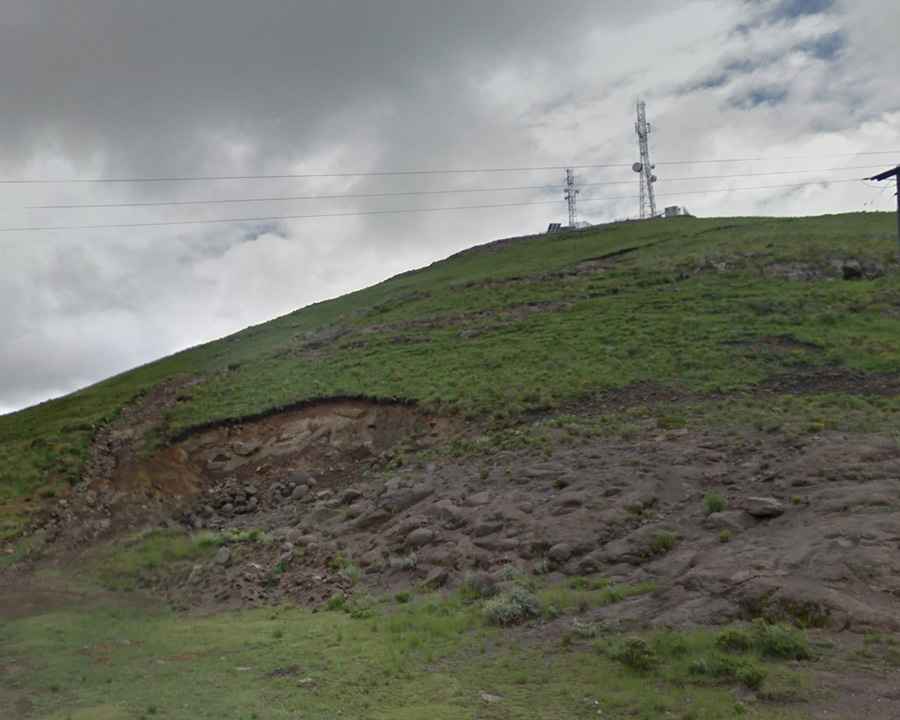
Why was the road to Mokhoro built?
The road to the summit was built in order to reach communication towers and antennas at the summit.
Is the road to Mokhoro unpaved?
The road is totally unpaved and mostly destroyed. It is hard to spot at first, as the initial section is broken and barely distinguishable — more like scattered rocks and rough terrain than a defined track. Unmarked and covered in rocks, the turn-off from the paved road is difficult to see, with damaged ground and loose stones. A 4x4 vehicle with high clearance is required. Due to the condition of the road, reaching the summit might be impossible. Also, expect terribly steep sections.
How long is the road to Mokhoro?
Starting from Lebelonyana Pass, on the paved A4 Road, the road to the summit is 385m (1,263 ft) long only. Over this distance, the elevation gain is 85m and the average gradient is 22%.
Is Mokhoro accessible in winters?
Set high in the southern part of the country, access to the peak is typically open all year round, with occasional closure in winters due to snowfalls. You can expect snow and ice on this pass on a regular basis.