Tizi Tirkabine: Driving the N30 through the Djurdjura Mountains
Tizi Tirkabine is a high mountain pass at an elevation of 1,362 meters (4,468 ft) above sea level, located in the Bouïra Province of northern Algeria. Situated within the rugged limestone ridges of the Djurdjura Mountains and the Djurdjura National Park, the pass is traversed by the paved National Road 30 (N30), which forces drivers to manage narrow lanes, broken mountain asphalt, and sharp unprotected drops.
| Road facts: Tizi Tirkabine | |
|---|---|
| Location | Bouïra and Tizi Ouzou borders, Djurdjura Mountains, Algeria |
| Elevation | 1,362 m (4,468 ft) |
| Route Official Name | National Road 30 (N30) |
| Length | 25 km (15.5 miles) between Iboudraren and Saharidj |
| Surface | Paved asphalt (deteriorated condition) |
How rough is the N30 asphalt road over Tizi Tirkabine?
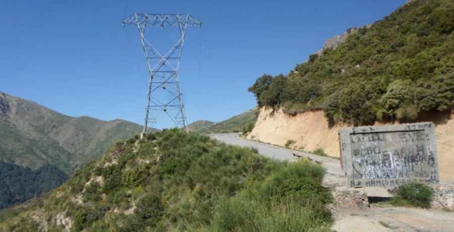
The 25-kilometer mountain route cuts north to south across the steep Kabylia region, linking the towns of Iboudraren and Saharidj. While the entire road is paved with tarmac, the surface suffers from severe weather deterioration. Extreme winter freezes and heavy truck traffic have cracked the pavement, leaving the lanes full of sharp potholes, frost heaves, and deep ruts. The road is very narrow and tightly clings to the rock walls. When local transport trucks or commercial vans meet on the sharp switchbacks, vehicles are forced to stop on the raw dirt shoulder edges to scramble past each other.
Why do the declines and drops on Tizi Tirkabine strain vehicles?
The 25-kilometer drive through the Djurdjura National Park features long, continuous mountain declines. Relying solely on the foot brake over these sustained ramps will cause the brake pads to overheat and experience complete brake fade. Drivers must lock the vehicle into low gears to let engine braking hold the truck weight down the slopes. The road layout completely lacks steel guardrails or concrete barriers on the outer edge, leaving tires inches away from vertical drops into the dense cedar valley forests on blind corners.
How do winter weather and rockfalls affect the Tizi Tirkabine pass?
At an altitude of 1,362 meters, the Tell Atlas winters drop heavy snowstorms that regularly pack the pass with deep drifts, blocking the N30 completely for days until regional plows clear the lane. Shaded corners remain coated in invisible sheets of slick ice long after the main tracks dry out. During the spring thaw and sudden mountain rainstorms, the sheer limestone cliffs above the asphalt become highly unstable. This triggers sudden rockfalls that drop large stone fragments and boulders directly onto the driving lanes, requiring drivers to pick careful lines on broken tarmac to avoid slashing tire sidewalls.
Pic: Ḥcene I-O