Travel Guide to the Top of Col de Tirourda
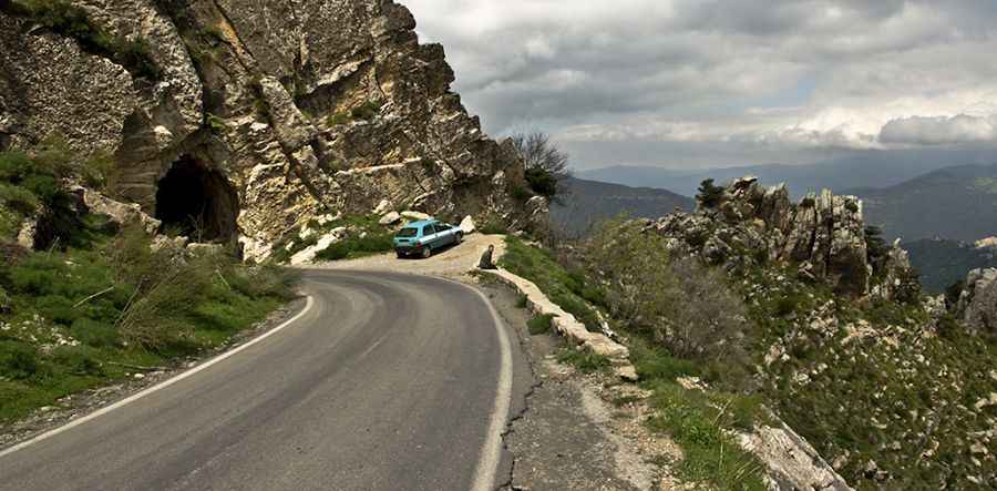
Col de Tirourda is a high mountain pass at an elevation of 1,737m (5,698ft) above sea level, located in Algeria.
Where is Col de Tirourda?
The pass is located on the boundary between Bouïra and Tizi Ouzou provinces, in the northern part of the country.
Is Col de Tirourda paved?
The road to the summit is fully paved but quite steep. It’s called N-15.
How long is Col de Tirourda?
The pass road is 27.5 km (17.08 miles) long, running north-south from Abi Youcef (a town in Tizi Ouzou Province) to Aghbalou (a town in Bouïra Province).
Pic: hakim ould-ahmed