What are the most spectacular roads in the Netherlands?
Located in the western part of Europe, the Netherlands has no high mountains (a quarter of its land is below sea level) but it does have its own unique charms, especially for bike lovers.
Covering an area of 41,543 square kilometers, the landscape of the country is primarily flat, being Vaalserberg the highest road in mainland Netherlands, at an elevation of 322.7m (1,059ft) above sea level, on the tripoint between Germany, Belgium, and the Netherlands.
Despite the country has no big mountains, it hosts landscapes and plains that are perfect for a road trip. When travelling to the country, don’t forget The Flower Route. The Bollenstreek Route is a very scenic drive running through the densest concentration of flowers in Holland. And don’t miss the N659 Oyster Dam Road: A Coastal Drive, across the Oyster dam (‘Oesterdam’), on the boundary between North Brabant and Zeeland provinces.
Things to Know Before Driving The Flower Route in Holland
Bollenstreek Route is the name of a very scenic drive running through the densest concentration of flowers in Holland.
Exploring the N659 Oyster Dam Road: A Coastal Drive in the Netherlands
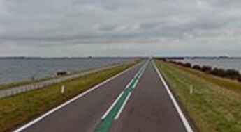
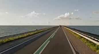
N659 is a spectacular road across the Oyster dam (‘Oesterdam’), on the boundary of North Brabant and Zeeland provinces, in the Netherlands.
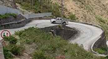
'The Road' is the main road on the island of Saba
Located on the tiny Dutch Caribbean island of Saba, The Road is a marvel of engineering. It’s the main road of the island and runs from the airport to the harbor, passing all four villages of the island. Its construction was masterminded by Josephus Lambert Hassell, who, despite the common opinion of Dutch and Swiss engineers, believed that a road could be built.
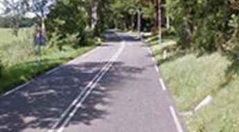
Vaalserberg is the highest road in mainland Netherlands
Vaalserberg is a mountain peak at an elevation of 322.7m (1,059ft) above sea level, located on the tripoint between Germany, Belgium, and the Netherlands.
Travelling through the Houtribdijk causeway
Located in Northern Holland, the Houtribdijk is a major causeway and dike constructed between 1963 and 1975.
Driving through the scenic Afsluitdijk
Located in Northern Holland, the Afsluitdijk (A7 Road) is a major causeway and dike connecting the provinces of Friesland and North Holland.
