What are the most spectacular roads in Cape Verde?
Republic of Cabo Verde is an island located in the mid-Atlantic Ocean. The country consists of ten volcanic islands and five islets. The total land area is approximately 4,033 km2 (1,557 sq mi), and Santiago is its largest island. It is the driest archipelago of the ecoregion of Macaronesia.
The terrain varies from rugged mountains to sandy beaches, and the islands are characterized by a dry, tropical climate. The climate is arid and sand carried by strong winds has caused erosion on all islands, especially the windward ones.
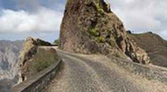
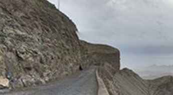
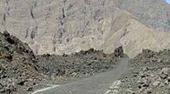
The country hosts a few spectacular roads, being the most remarkable ones the challenging drive from Vila do Porto Novo to Ribeira Grande, in the island of Santo Antão. Located in the northern part of the island of São Vicente in Cape Verde, the steep road to Monte Verde climbs up to 642m (2,106ft) above sea level. It’s also worth mentioning the challenging road to Pico do Fogo, an active stratovolcano located in the Ilha do Fogo.
A challenging road from Vila do Porto Novo to Ribeira Grande
Driving from Vila do Porto Novo to Ribeira Grande in the island of Santo Antão, in Cape Verde, is a very challenging experience.
The steep road to Monte Verde
Monte Verde is a mountain peak at an elevation of 642m (2,106ft) above the sea level located in the northern part of the island of São Vicente in Cape Verde.
A challenging road to Pico do Fogo
Pico do Fogo is an active stratovolcano located in the Ilha do Fogo, one of the southernmost islands in Cape Verde.
Highway 10: The Transatlantic Cocaine Corridor Bridging South America and Africa
The 10th Parallel marine and aerial routes, known historically for facilitating trade between South America and West Africa, have taken on a new and sinister role in modern times. These routes, spanning a distance of approximately 2,500 kilometers between Venezuela and the western coast of Africa, have earned the ominous moniker "Highway 10" among law enforcement due to their use by Latin American drug cartels for shipping vast quantities of cocaine to the ever-expanding European market.


