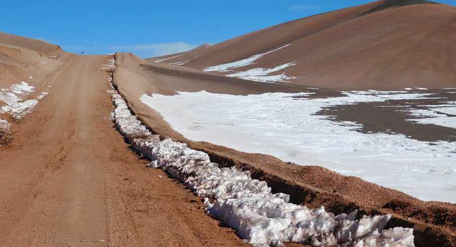
Crossing Borders High in the Andes: A Road through the Scenic Pircas Negras Pass
Paso de Pircas Negras (Black Pircas Pass) is an international high mountain pass at an elevation of 4.175m (13697ft) above the sea level, located on the border of Argentina and Chile.

Where is Pircas Negras Pass?
Set high in the Andes mountains, the pass links the III Región de Atacama, (Chile) with the northwestern Province of La Rioja (Argentina). Due to the spectacular nature of its landscapes, the area has tourists from all over the world.
Can you drive through Pircas Negras Pass?
The road to the summit is called Ruta Nacional Nº 76 (in Argentina) and Carretera C359 (in Chile). It is mostly unpaved (it is only paved for roughly 40km along the high part of the pass between the joint immigration office and Laguna Brava) and very narrow in parts. A 4x4 vehicle is required.
How long is Pircas Negras Pass?
The road to the pass is very lonely and remote. It’s 427 km (265 miles) long, running from Copiapó (a city in northern Chile’s Atacama Desert) to Villa Unión (a city in northwestern Argentina in Departamento Coronel Felipe Varela).
Is Pircas Negras Pass open?
This road is usually open from 1st November to 30th April (depending on snow) from 9 to 18h. The open and close dates all depend on snowmelt and snowfall each year. The pass has an extreme weather and on winters is usual more than 2m of snow at the summit.
Pic: Fotografias DelAngel