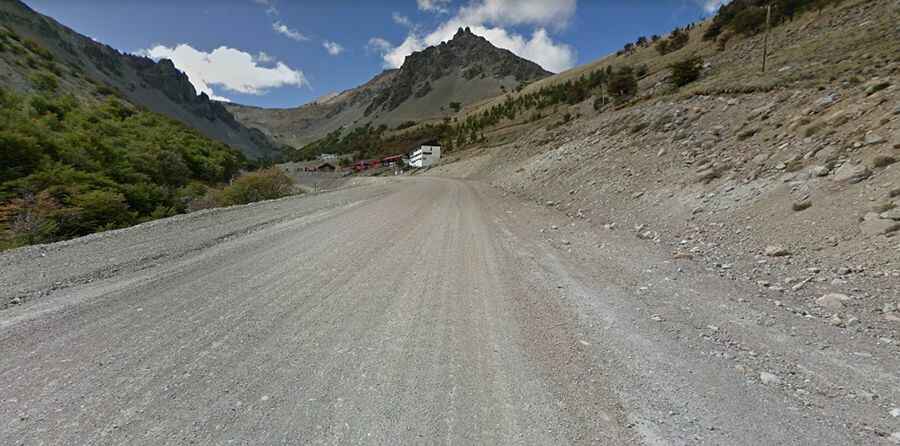
A steep unpaved road to Cerro La Hoya
Cerro La Hoya is a high mountain peak at an elevation of 1.650m (5,413ft) above the sea level, located in the northwest of Chubut Province, Patagonia in southern Argentina.

Located in the foothills of the Andes Mountains, the road to the summit is totally unpaved but on great conditions. It’s called Camino a la Hoya. Previously it was a track only accessible for 4x4s and mountain bikes. The road to the summit was built in the mid-1950s.
The mountain hosts a ski resort known as La Hoya ski resort. Starting from Esquel, a town northwest of the Province of Chubut, the road to the summit is 14.0 km (8.69 miles) long. Over this distance the elevation gain is 1.041 meters. The average gradient is 7.43% with a maximum of 16% on the way up. A chairlift access service road, north of the ski resort, climbs up to 1.890m (6,200ft) above the sea level.