Road trip guide: Conquering Cruz de Paramillo in Mendoza
Cruz de Paramillo is a mountain pass at an elevation of 2,960m (9,711ft) above sea level located in the Las Heras department, in the northwest of Mendoza Province, in Argentina.
How to get by car to Cruz de Paramillo?
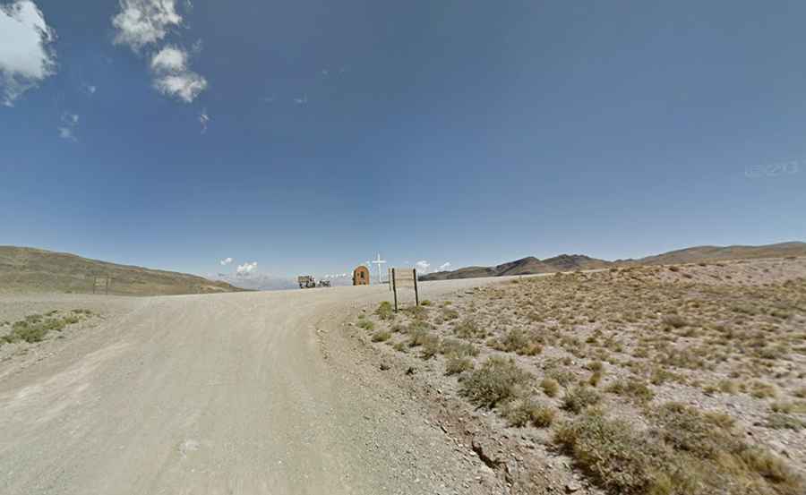
Set high in the Andes mountain range, the road to the summit is entirely unpaved. It’s called Ruta Provincial 52 but commonly known as Ruta del Año (Route of the Year) because it has 365 turns, most of them hairpins. The road is 93km (58 miles) long, running from Uspallata to Mendoza. The summit hosts a white cross and a little chapel. The monument was erected in memory of the work of Jesuit missionaries in that territory.
A gravel road to the lookout and communication towers
To the north of the pass, a minor gravel road climbs up to a lookout point with communication towers at 3,149m (10,331ft) above sea level. The road is 3.6 km (2.23 miles) long. Over this distance, the elevation gain is 189 meters. The average gradient is 5.25%. The summit offers views of Aconcagua peak.