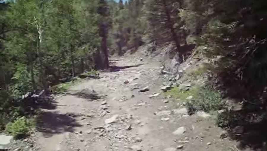
Driving the wild road to Cloverdale Mine
Cloverdale Mine is an abandoned gold mine at an elevation of 3.497m (11,473ft) above the sea level, located in Custer County, Colorado, in USA. This is truly a breathtaking trail.

The road to the mine is totally unpaved. One mistake can have serious consequences. It’s called Lake Creek Road (Forest Service Road 198). It’s 16.89km (10.5 miles) long. After the Rainbow lake the trail gets a bit tougher and rockier in spots. When you pass by an old cabin the trail climbs through a few switchbacks and the trail is very narrow in some sections. The mine was created in 1922.
Located on the eastern side of the Sangre de Cristo, road conditions are always changing. Winter comes early and stays late on this trail, so you may only be able to safely run it in the middle of the summer. The mine camp is a site worth visiting and the journey offers stunning views of Eagle Peak. 4x4 vehicles with high clearance required. The drive is steep. Starting from the paved CO-69 road, the ascent is 16.89km (10.5 miles) long. Over this distance the elevation gain is 1.207 meters. The average gradient is 7.14% hitting a 12.4% through some of the ramps.
Pic&video: thegoldbuddha1