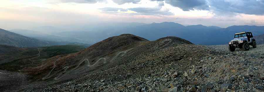
Ultimate 4wd destination: Peak 10 in Colorado
Peak 10 is a high mountain peak at an elevation of 4,085m (13,402ft) above sea level, located in Summit County, in the U.S. state of Colorado. Experienced drivers in aggressive stock SUVs can do it. It's one of the highest roads in the USA.

Can you drive to Peak 10 in Colorado?
The road to the summit, also known as 4th of July Bowl, is totally unpaved. It’s called Forest Service Road 751 (Peak 9 Road). It is mostly used to provide access to maintain ski lifts and lodges. The summit hosts a weather station just above the ruins of the Briar Rose mine.
Is the road to Peak 10 in Colorado open?
Set high in the Rocky Mountains’ Tenmile Range, the trail is only open in the months when snow skiing is not available.
Is the road to Peak 10 in Colorado steep?
The high-altitude shelf road to the summit is very steep, hitting a 12% maximum gradient through some of the ramps. Starting at Breckenridge, the ascent is 10.94km (6.8 miles) long. Over this distance, the elevation gain is 1,095 meters. The average gradient is 9.55%.
Is the road to Peak 10 in Colorado challenging?
Tucked away in the Arapaho National Forest, near Breckenridge, it’s one of the highest roads in Colorado. 4WD and good ground clearance are required. Low-range gearing is required at the top. The last part of the climb is very intimidating. It is well above timberline, and the trail is not wide at all. It is covered in loose but small rocks. The switchbacks are often very tight and loose.
Pic: Charlie Thompson