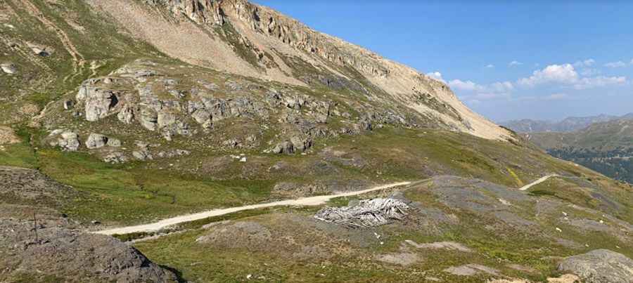
The rough and dangerous road to the magical Bullion King Lake
Bullion King Lake is a high mountain turquoise lake at an elevation of 3.832m (12,572ft) above the sea level, located in San Juan County, southwest Colorado, in United States. This trail is well worth the drive; however, it is steep in places and has a limited number of places to pass other vehicles. It's one of the highest mountain roads of Colorado.

Located north of Silverton, be sure to have experience in back roads if you attempt this trail. The road to the lake is totally unpaved. It’s called Forest Road 822 (also known as Porphyry Gulch Road or Bullion King Lake Trail). This is not for the faint of heart. Part way up there is a sign that says "Rough and dangerous road ahead, travel not recommended". This refers to a narrow spot against a ledge a few hundred feet ahead. It will make you a bit anxious the first time through, but it is really wide enough. 4wd vehicles only. The road is very narrow, steep, and with several tight switchbacks. The trail has steep drop offs that are scary for a novice.
Located in the San Juan Mountains, within the San Juan National Forest, the hairy road to the alpine lake is 4.66km (2.9 miles) long, starting off Million Dollar Highway. Over this distance the elevation gain is 490 meters. The average gradient is 10.51%. The drive is mostly easy except for one section of high, narrow shelf road that may intimidate novice drivers. The road offers great views of the surrounding area. It’s usually impassable from October to June. To see the lake you must walk about 1/4 mile from the end of the road. There are a few abandoned mines along the drive.
Pic: Carlo D