Road trip guide: Conquering Waunita Pass in CO
Waunita Pass is a high mountain pass at an elevation of 3.143m (10,311ft) above the sea level located in Gunnison County, in the U.S. state of Colorado. The area can be very treacherous during the winter months.

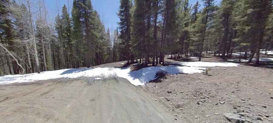
Set high in the Gunnison National Forest, the road to the summit is totally unpaved but suitable for most 2WD automobiles in dry weather. 4WD is advisable at times of inclement weather. It’s called Waunita Pass Road (County Road 763). It has switchbacks on both the north and south side of the pass that climb through the forest. The road is steep, hitting an 8% of maximum gradient through some of the ramps.
It’s an old mining road built in the 1800’s and early 1900’s. Accessibility is largely limited to the summer season. It is not generally snow-free until late June or even July in some years. The pass road is 16.57km (10.3 miles) long, running north-south from Pitkin to County Road 887 and offers lots of magnificent views and scenery.
Pic: Eric Yackel