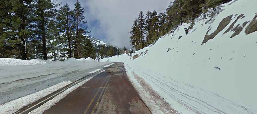
Mount Ashland, a steep paved road in Oregon
Mount Ashland is a ski resort at an elevation of 2.008m (6,587ft) above the sea level, located in Jackson County, in beautiful Southern Oregon, United States.

Located within the Siskiyou Mountain Range, the road is asphalted but pretty steep. It’s called Mt Ashland Ski Road. It’s a two-lane paved road. Starting from Old Highway 99 S, the ascent is 14.32km (8.9 miles) long. Over this distance, the elevation gain is 715 meters. The average gradient is 4.99%. Mount Ashland is a very popular area for many recreational activities, one of the most popular activities is skiing.
A steep ascent to Mount Ashland summit
Beyond the ski-area parking lot, a gravel road very steep climbs up to the summit of Mount Ashland, at 2.284m (7,493ft) above the sea level. The road is narrow, with dangerous drop offs, and usually impassable in winters. 4x4 vehicle required. At the summit are some communication facilites and a weather radar. The road to the summit is NF-20 and then NF-300. Starting from Mount Ashland ski resort parking lot, the ascent is 4.50km (2.8 miles) long with 3 sharp hairpin turns. Over this distance, the elevation gain is 276 meters. The average gradient is 6.13%.