Driving the historic road to Walker Pass in California
Walker Pass is a high mountain pass at an elevation of 1.603m (5,259ft) above the sea level, located in Kern County, in the U.S. state of California.
Where is Walker Pass?
The pass is located in northeastern Kern County, in the southern part of California.
Why is it called Walker Pass?
The pass is named after Joseph R. Walker, a mountain man and scout from the Bonneville Expedition. In 1834, guided by information from Native Americans, Walker used the pass as a route through the Sierra. He later led an immigrant wagon train through it in 1843. John C. Fremont's military survey expedition in 1845 also used the pass, and Fremont recommended naming it after Walker. During the 1848–1855 Gold Rush, Walker Pass became a key route for pioneers entering California.
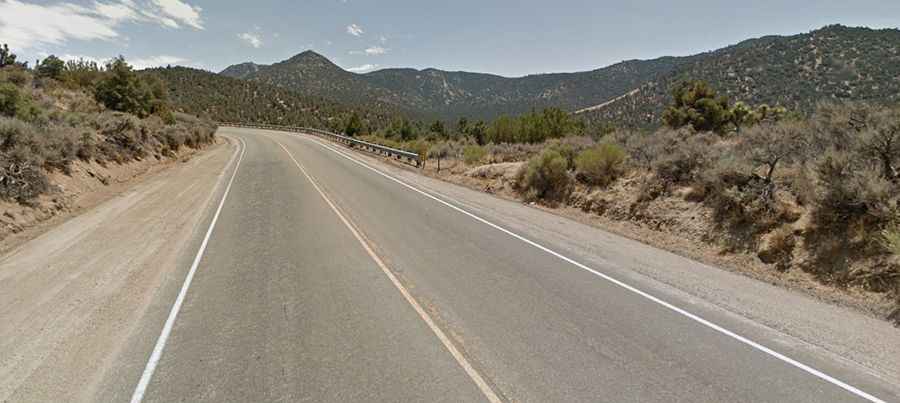
Can I drive through Walker Pass in California?
The now busy road to the summit, also known as Walker's Pass, is fully paved. It’s called California State Route 178 (State Route 178/CA-178). At this elevation, it’s the highest point on this narrow, twisting two lane road for most its entire length through the Sierras.
How long is Walker Pass?
Walker Pass stretches 31.22 km (19.4 miles) from Canebrake to Freeman Village, connecting the San Joaquin Valley to the west and the Mojave Desert to the east.
Is Walker Pass open?
Located in the southern Sierra Nevada, the pass is usually accessible year-round. However, it may be temporarily closed during winter due to adverse weather conditions. Given its relatively lower elevation, these closures are often brief. Rockfalls can also cause closures, with rock slides and falling rocks posing hazards throughout the year.