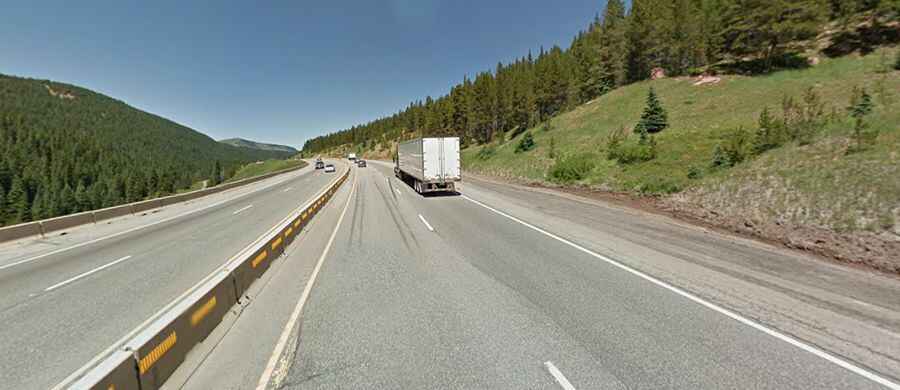
Vail Pass is a difficult road in Colorado
Vail Pass is a high mountain pass at an elevation of 3,251m (10,666ft) above sea level, located in the US state of Colorado. It’s one of the steepest paved mountain passes in Colorado.

Where is Vail Pass?
The pass is located on the boundary between Summit and Eagle counties, in the central part of Colorado.
Why is it named Vail Pass?
The pass is named for Charles Vail, a highway engineer.
How long is the road to Vail Pass?
The road to the summit is 32km (20.4 miles) long, running from Vail to Copper Mountain. The first paved highway over the pass was completed in 1940. In the 1970s, the route was upgraded to Interstate 70.
Is Vail Pass dangerous?
The road to the summit is paved and called Interstate 70 (I-70). The highway is extremely steep on both sides (eastbound or westbound) and has at least a 7 to 8 percent grade at one point or another. Much like Loveland Pass, its windy nature features hairpin turns and brutal winter weather. The pass crests at 10,660 feet above sea level, and two runaway truck ramps exist on the westbound side for victims of brake failure. The steep sides provide drivers with little room for error. These slippery mountain stretches are notoriously dangerous in the winter and are prone to multi-car accidents because it’s easy for drivers to lose control of their autos.
Is Vail Pass open?
Set high in the Rocky Mountains, access to the pass is typically open all year round, with the occasional closure in winters due to dangerous weather conditions. Vail Pass is the most dangerous section of the highway on the route from Denver to Vail during the Winter. It is frequently closed by local authorities during severe snowstorms, as conditions become undrivable. Travelers should be prepared for changing conditions and near-zero visibility in winters.