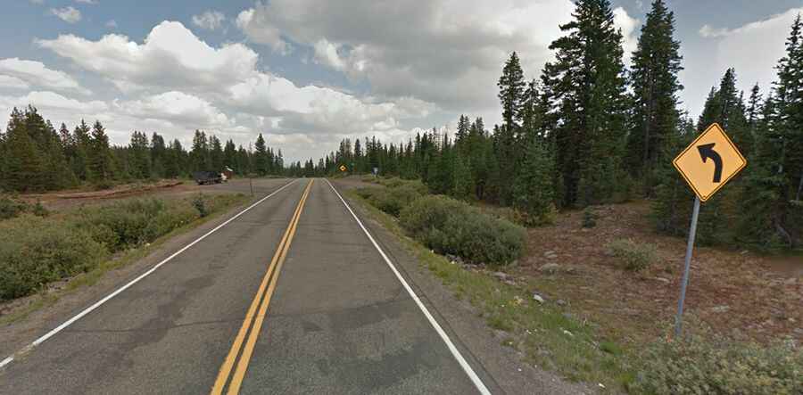
Driving the stunning road to Grand Mesa Summit, the largest flat top mountain in the world
Located on the boundary of Mesa and Delta counties in the US state of Colorado, the Grand Mesa Summit rises to an elevation of 3,307m (10,849ft). This prominent landmark holds the distinction of being the world’s largest flat-topped mountain.

Is the road to Grand Mesa Summit paved?
The fully paved road leading to the summit is known as the Colorado State Highway 65, commonly referred to as the Grand Mesa Scenic Byway. Stretching over 83km (52 miles), this scenic route runs north-south, connecting Mesa in Mesa County to Delta in Delta County.
Is Grand Mesa Summit open?
Although positioned high in the western part of Colorado, the road typically remains open year-round. However, travelers should be aware that during winter's harshest conditions, it may be temporarily closed.
Is the road to Grand Mesa Summit worth it?
The drive up to the Grand Mesa Summit is nothing short of captivating. Travelers journey through four major ecological zones, witnessing a rich tapestry of old-growth forests, aspen groves, expansive meadows, and countless lakes. With a gentle gradient ranging from three to six percent, the drive is as comfortable as it is scenic. While the actual summit's precise point might not be overtly marked, the topography offers numerous photo opportunities. A 10-million-year-old layer of basalt, a remnant of ancient lava flows, caps the Grand Mesa, shielding it from the erosion affecting nearby sedimentary formations. For those eager to capture the essence of this region, several scenic overlooks along the byway provide breathtaking views of the vast landscape below.