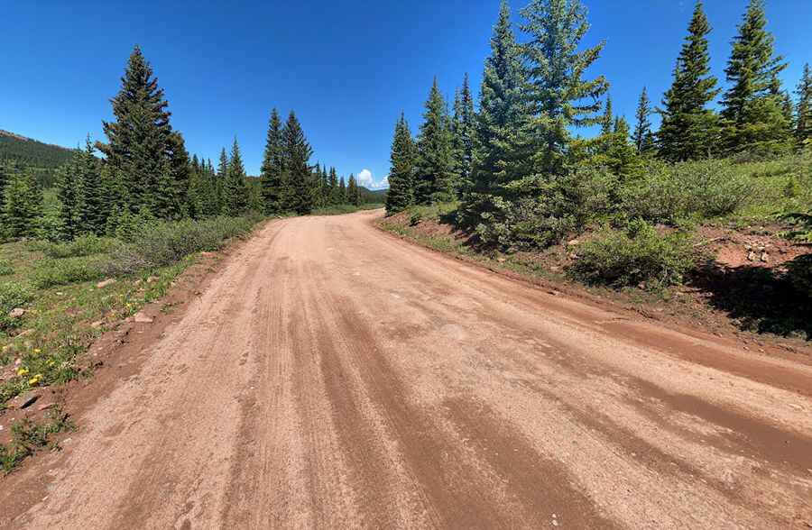
The Shrine Pass in Colorado - A Comprehensive Guide for Off-Road Enthusiasts
Shrine Pass is a high mountain pass at an elevation of 3.410m (11,187ft) above the sea level, located on the boundary of Eagle and Summit counties, in the U.S. state of Colorado. This dirt road is passable by all but the lowest passenger cars.

Is the road to Shrine Pass paved?
Tucked away in central Colorado, the narrow, dirt road to the summit is totally unpaved. It is called Shrine Pass Road (Forest Road 709). It’s the highest point of the road. The pass gets its name from the view of Mount of the Holy Cross.
Is the Shrine Pass road challenging?
The track is in pretty good shape but it can be narrow and rocky. It is a 4WD or jeep trail; however, in ideal weather the road is considered traversable by sturdy 2WD vehicles and light trucks SUV or 4WD is recommended but sometimes the road is in good enough condition for high clearance 2wd vehicles. It starts off as a wide dirt road and there is always enough room to pass an oncoming vehicle. There are a few wider areas where you can stop to take pictures.
Is the Shrine Pass Road open?
Set high in the Sawatch range of the Rocky Mountains, within the White River National Forest, the road is accessible from June until September. Open season dates may vary depending on conditions.
Is Shrine Pass worth it?
This is a gorgeous drive. The pass offers scenic view of wildflower meadows and pine woodlands during the summer and autumn months, as well as distant view of Mount of the Holy Cross to the north. It is especially popular as a sightseeing route during the autumn months. The trail is never too busy.
How long is the Shrine Pass Road?
The pass is 19.15km (11.9 miles) long, running east-west from Interstate 70, at Vail Pass, to US-24, near of Red Cliff, a town in Eagle County. The road was once the main access way between Denver and Glenwood Springs, until US-6 (along Interstate 70) was built, in the 1970s.
Pic: Brian B