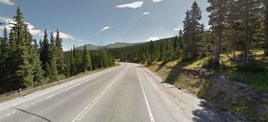
Hoosier Pass in Colorado: enjoy a drive among the clouds
Hoosier Pass is a high mountain pass at an elevation of 3.518m (11,542ft) above sea level, located in the U.S. state of Colorado. The small road with beautiful nature views is one of the steepest paved mountain passes in Colorado.

Where is Hoosier Pass?
The pass is located on the boundary between Park and Summit counties, in the central part of Colorado, to the west of Denver.
Why is it called Hoosier Pass?
The name comes from pioneers who settled the area from Indiana, nicknamed the 'Hoosier State'.
How steep is Hoosier Pass?
Situated high at the northern end of the Mosquito Range, in the Rocky Mountains of Colorado, the road to the summit is totally paved. It’s called Colorado State Highway 9. It’s a winding road with some pretty sharp turns, featuring a smooth approach on the south side and several switchbacks on the north side, with a grade of 8%.
Is Hoosier Pass open?
This road, located on the Continental Divide, is usually kept open all year round. During winter storms, however, the road can be closed. It’s traversable by all vehicles in good weather but is occasionally closed during winter storms.
How long is Hoosier Pass?
The road is 34.43km (21.4 miles) long, running north-south from Breckenridge (in Summit County) to Fairplay (the county seat of Park County).
A gravel road to the top of the real Hoosier Pass
West of the pass, a minor unpaved mining road (Trail #2) climbs up to the real pass, at 3.692m (12,112ft) above sea level. Make sure your camera is charged because the views are spectacular. It’s so steep that you’ll definitely need four-wheel drive. Don't think all-wheel drive will help you. It’s one of the highest roads in Colorado. The dirt road offers a beautiful view of the jagged mountains to the west.