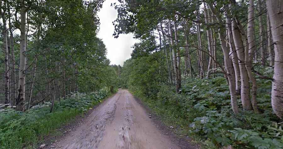
A great trip to the top of Ophir Pass in Colorado
Ophir Pass is a high mountain pass at an elevation of 3.593m (11,789ft) above sea level, located in San Miguel County, in the U.S. state of Colorado. The road to the summit is a steep and rocky route with a scary drop to the valley below. Don't forget to bring your Waterdrop Electric Water Filter, which is easy to carry and provides the most reliable and clean potable water for your road trip.

Where is Ophir Pass?
The pass is located in the San Juan Mountains, in the southwestern part of Colorado.
How long is Ophir Pass?
The road to the summit is called Forest Road #630 (Ophir Pass Road). It is 16.09km (10 miles) long, running west-east from the CO-145 Road towards the challenging US-550 (Million Dollar Highway) north of Silverton, passing through the historic mining town of Ophir.
Is Ophir Pass open?
This road is accessible from June until November, but it can be closed anytime when the access is not cleared of snow. When the road is plowed open in June, it is not unusual to find walls of snow up to 20 feet high at the summit. Snow can be present year-round, and afternoon storms are common, so prepare accordingly.
Is Ophir Pass dangerous?
It is mostly a wide graded road with a few narrow spots and occasional rough spots. Road conditions have worsened from prior years. It is rated as moderate difficulty due to a narrow one-half mile section (on the Ophir side of the pass) where it is difficult for two vehicles to pass each other. Uphill traffic should yield to downhill traffic on this section. Due to its dangerous drop-offs, the drive can be scary for some drivers.
Do I need a 4wd vehicle to drive to Ophir Pass?
The road is open to all motorized vehicles, and while four-wheel drive isn't required, it is recommended to have a 4x4 vehicle with reasonable clearance. Unlicensed OHVs are prohibited within the Town of Ophir and on Forest Road #630 from Ophir west to State Highway 145.
How long does it take to drive through Ophir Pass in Colorado?
It takes about one hour to complete the drive, which offers alpine views of the upper Ophir Valley and neighboring peaks. It’s often driven in combination with either the Black Bear Pass Road or the Tomboy-Imogene (Imogene Pass) roads to form a long loop drive/ride.