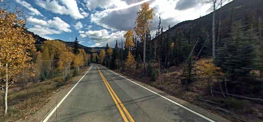
Driving the historic Silver Thread Scenic Byway in Colorado
Silver Thread Scenic Byway is a very scenic drive located in the US state of Colorado, with stunning history and natural wonders.

How long is the Silver Thread Byway?
The road is totally paved spanning the entire length of Highway 149 in the south-central and southwest regions of the state. It’s 188km (117 miles) long, running through Rio Grande National Forest, Grand Mesa, Uncompahgre, and Gunnison National Forests. The road winds through four counties and three towns, including Lake City, Creede, and South Fork.
Where does Silver Thread Scenic Byway start and end?
The road runs from US-50 near Gunnison to South Fork, in Rio Grande County, on US-160 along Colorado Highway 149 in the San Juan Mountain Range.
Is the Silver Thread Scenic Byway open?
This narrow two-lane road is maintained year-round because snowplows clear the route regularly during this season. But beware of poor conditions in winter. The road tops out at Slumgullion Pass, at 3.528m (11,574ft) above sea level.
How long does it take to drive the Silver Thread Scenic Byway?
Plan more than 3 hours to complete the drive without any stops. However, the road is very scenic, so plan on it taking longer as you will definitely want to see the sights. The route includes panoramic views, plenty of wildlife, and an area rich in the history of Native Americans, the first Anglo explorers, and Victorian-era mining. The experience of using this road is very impressive. The colorful old mining and logging camps of the Silver Thread Scenic Byway offer a wealth of history, while the surrounding Wilderness and National Forest lands serve up a huge dose of scenic beauty. Follow the Byway as it traces the routes of old toll roads, stagecoach lines, and railways. From beginning to end, it is a historical route with astounding beauty, recreational abundance, and a varied and unique geology. There are several marked stopping points along the Byway and beautiful views with every turn. For more information, pick up a Silver Thread Guide at the Lake City Visitor Center. Elk, deer, moose, and bighorn sheep are often seen along the highway. The heights around Creede and Lake City remain strewn with abandoned mining structures, most of them accessible via rugged backcountry roads. Between the two towns, Highway 149 shadows the upper reaches of the Rio Grande, serving up a bounty of natural wonders - sparkling North Clear Creek Falls, the Slumgullion earth slide, and the shark-like fin of Uncompahgre Peak.