What is the highest paved road in every US State? The Ultimate List
Reaching the highest point of a state by car is a unique challenge that combines high-altitude engineering with the thrill of mountain driving. From the oxygen-thin air of the Colorado Rockies to the historic gaps of the Appalachians, these are the highest paved arteries in America. This state-by-state guide explores the technical limits of the US road network, where steep gradients and unpredictable weather meet the horizon.
Highest paved roads in the USA
| State | Elevation (ft) | Highest point |
|---|---|---|
| Alabama | 2,405 | Cheaha Mountain |
| Alaska | 3,332 | Eureka Summit on Glenn Hwy (AK 1) |
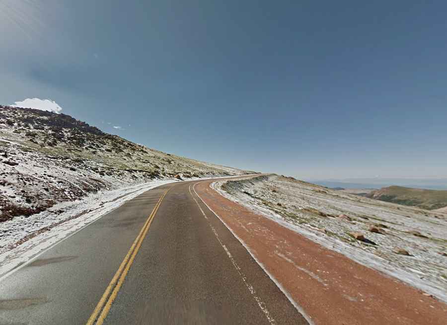
| Arizona | 9,553 | Arizona Snow Bowl |
| Arkansas | 2,681 | Polk coHP |
| California | 10,320 | Rock Creek Road from Toms Place |
| Colorado | 14,130 | Mount Evans |
| Connecticut | 1,555 | Bald Mountain (CT 272) |
| Delaware | 448 | Ebright Azimuth |
| Florida | 340 | Lakewood |
| Georgia | 4,784 | Brasstown Bald gate (GA Alt 180) |
| Hawaii | 13,803 | Mauna Kea |
| Idaho | 9,261 | Mount Harrison |
| Illinois | 1,142 | 1 mi. S of Scales Mound on CR 67 |
| Indiana | 1,253 | Elliot Road by Hoosier Hill |
| Iowa | 1,654 | 2 miles south of Bigelow, Minn. (IA 60) |
| Kansas | 3,920 | at state line by Kanorado (old US 24) |
| Kentucky | 4,145 | FAA site on Black Mountain |
| Louisiana | 456 | Old Athens |
| Maine | 2,319 | ME-17, a mile north of Appalachian Trail |
| Maryland | 3,080 | near Conneway Hill (US 50) |
| Massachusetts | 3,491 | Mount Greylock |
| Michigan | 1,790 | 3/4 mile SE of Watersmeet Park (US 2) |
| Minnesota | 2,040 | ~4 miles south of Isabella (MN 1) |
| Mississippi | 680 | US 72 at jct. with road to Benton LO |
| Missouri | 1,730 | next to the Webster coHP (Road P) |
| Montana | 10,200 | Beartooth Hwy (US 212) at WY state line |
| Nebraska | 5,105 | Bushnell Exit (I-80) |
| Nevada | 10,163 | Wheeler Peak trailhead GBNP |
| New Hampshire | 6,286 | Mount Washington Auto Road |
| New Jersey | 1,803 | High Point |
| New Mexico | 10,678 | NM 532 at Sandia Crest |
| New York | 4,865 | Whiteface Mtn Mem Hwy on 431 |
| North Carolina | 6,684 | Mount Mitchell |
| North Dakota | 3,220 | 1.5 miles NW of Rhame (US 12) |
| Ohio | 1,540 | Hi Point Career Center |
| Oklahoma | 4,846 | state line west of Mexhoma |
| Oregon | 7,877 | viewpoint-east Crater Lake rim |
| Pennsylvania | 3,160 | 0.2 mi. E of Baughman Spring on 2004 |
| Rhode Island | 812 | Jerimoth Hill on Hartford Pike |
| South Carolina | 3,520 | F Van Clayton Mem Hwy to Sassafras Mtn |
| South Dakota | 6,712 | O'Neil Pass on US 85 |
| Tennessee | 6,643 | Collins Gap GSMNP on Clingmans Dome Rd |
| Texas | 6,790 | McDonald Observatory (Mt Locke) |
| Utah | 10,715 | just SW of Bald Mountain Pass on UT 150 |
| Vermont | 3,840 | Mount Equinox |
| Virginia | 4,880 | Grayson Highlands SP at Haw Orchard Mtn |
| Washington | 6,400 | Sunrise Ranger Station MRNP |
| West Virginia | 4,840 | Snowshoe Ski Area |
| Wisconsin | 1,930 | Sugarbush Hill spur off Bradley Lake Rd |
| Wyoming | 10,947 | Powder River Pass (US 16) |