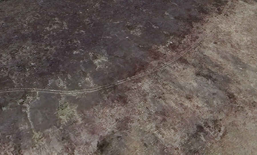
An old mine road to South Peak in Colorado
South Peak is a high mountain peak located in Lake County, in the U.S. state of Colorado. An old mining road, to the south of the summit, climbs up to 3,824m (12,545ft) above sea level. It's one of the highest roads in Colorado.

Where is South Peak?
The road is located just north of the Park County line, in the central part of Colorado, within the Pike National Forest, on the west side of Weston Pass. Along the way, you’ll be surrounded by beautiful mountains, and the scenery is amazing.
Can I drive to South Peak?
Built in the 1800s, the road is entirely unpaved and pretty challenging. A 4x4 vehicle with high clearance is required. It climbs up to an old gold mine, and the trail requires a little expertise.
How long is the road to South Peak?
Starting in Mount Bump, the road is 3.5km (2.17 miles) long. Over this distance, the elevation gain is 185 meters. The average gradient is 5.28%.
Is the road to South Peak open?
Set high in a beautiful area of Rocky Mountain high country, this road is usually impassable from late October through late June or early July (depending on snow). It is not generally snow-free until late June or even July in some years.