The unpaved road with breathtaking views to Sherman Peak in California
Sherman Peak is a high mountain peak at an elevation of 3.022m (9,914ft) above sea level, located in Tulare County, in the U.S. state of California. It's one of the highest roads in California.
Where is Sherman Peak?
The peak is located in the central part of California, north of Lake Isabella, on the eastern side of Sequoia National Forest, on the edge of the Kern Plateau.
Is the road to Sherman Peak unpaved?
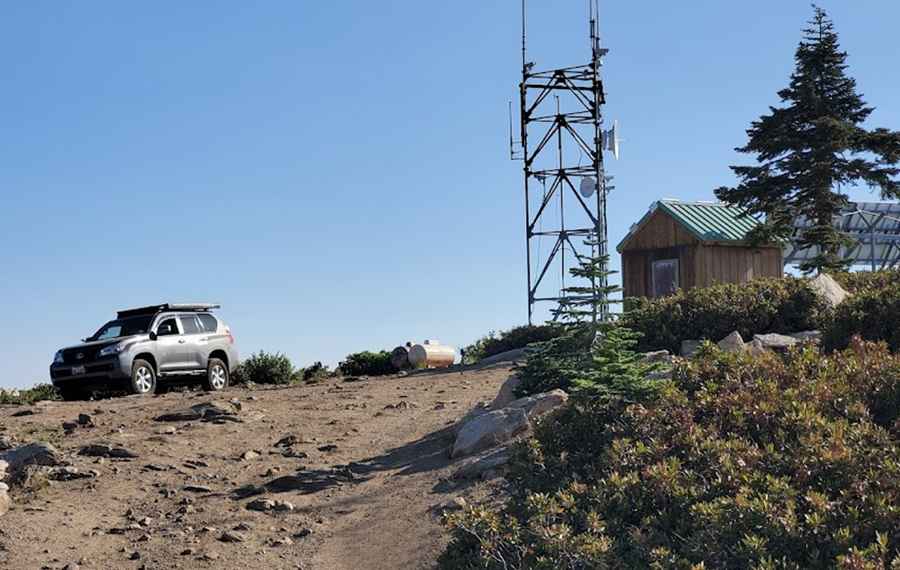
The road to the summit is entirely unpaved and is called Forest Service Road 33E48. A 4x4 vehicle is required for access, primarily used by those maintaining the radio towers at the top.
How long is the road to Sherman Peak?
Starting from Sherman Pass Road, the ascent is 4.9 km (3.04 miles) long. The road is extremely steep, with an elevation gain of 704 m and an average gradient of 14.36%. The road is usually impassable in winters.
Is Sherman Peak worth it?
The summit was once the site of a fire lookout, but today only a few radio transmitters stand at the top. Despite this, the summit offers stunning 360-degree views of the surrounding breathtaking country, including the Great Western Divide and the Sierra Crest.
Pic: NooR fpv