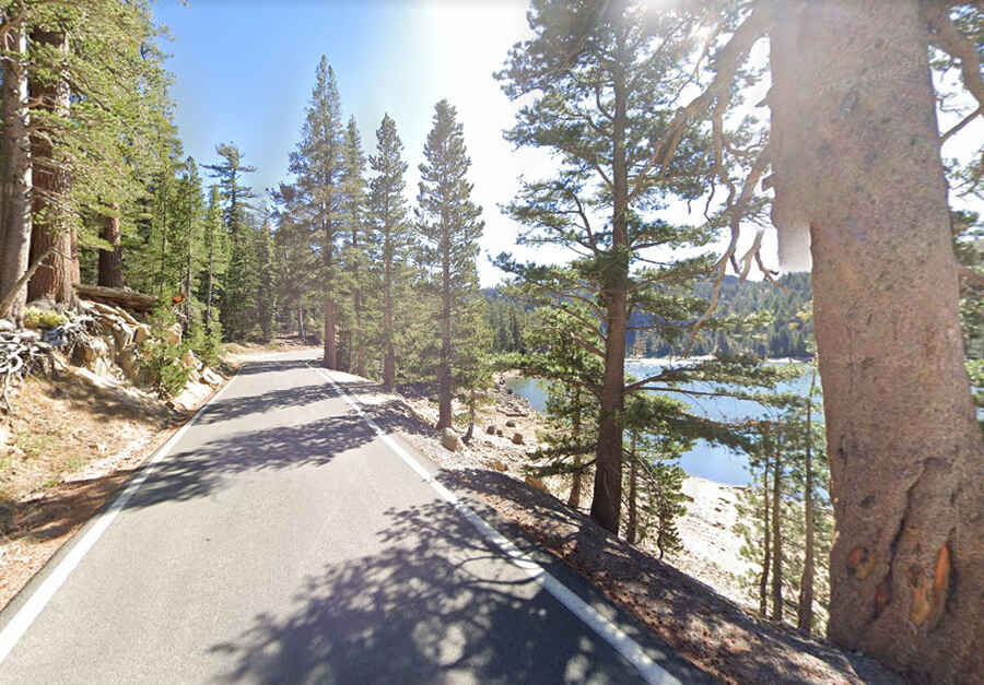
Driving the idyllic Ebbetts Pass National Scenic Byway across California's Sierra Nevada
Ebbetts Pass National Scenic Byway is the name of an idyllic drive in the heart of the Sierra Nevada, in the US state of California.

How long is Ebbetts Pass National Scenic Byway?
The road is totally paved. It’s 98km (61-mile) long and comprises parts of Highways 4 and 89. Most of the route is along Highway 4 (also known as Alpine State Highway), while the last few miles become Highway 89. The road is named after Major John Ebbett.
Where does Ebbetts Pass National Scenic Byway start and end?
Tucked away on the east-central part of California, the drive runs south-northeast from Arnold (a cozy little mountain town in Calaveras County) to Markleeville (a picturesque town joining two bodies of water in Alpine County).
Is Ebbetts Pass National Scenic Byway open?
The road tops out by Ebbetts Pass, a high mountain pass at 2.666m (8,746ft) above the sea level. It’s seasonally closed in the upper portions of the route, between Lake Alpine and Silver Creek. It’s usually closed from mid-November to May. It is not suitable for semi trucks, buses, and most Recreational Vehicles.
Are there any 24% grades in Highway 4 in eastern California?
It’s a winding mountain road. Narrow parts, steep grades (hitting a 24% of maximum gradient through some of the ramps between Pacific Grade Summit and Ebbetts Pass) and sharp curves require careful driving. A modern two-lane highway at either end, the road becomes a steep, curvy, single-lane ribbon of asphalt in the middle as it traverses two national forests and two wilderness areas. The road does get busier at weekends and in the main holiday season.
How long does it take to drive Ebbetts Pass National Scenic Byway?
It's said to be one of the most scenic drives across California's Sierra Nevada Mountains and provides an exceptional and intimate high country experience. Plan about 2 hours to complete the remarkable drive without stops, although you may want to block out extra time to stop, take photos and explore the region it passes through. The lack of a center line, along with dramatic elevation changes, steep grades and sharp curves encourage travelers to traverse the route at a leisurely pace. The majority of the highway delves deep into national forest and wilderness areas.