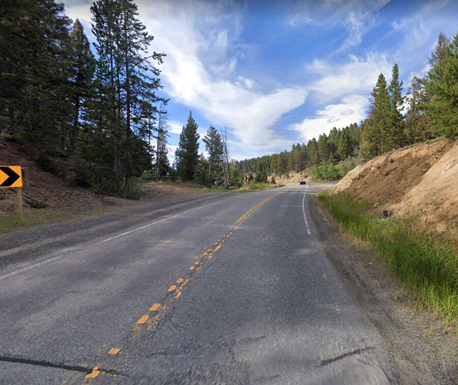
A wild road to Pipestone Pass in MT
Pipestone Pass is a high mountain pass at an elevation of 1.972m (6,469ft) above the sea level, located in Silver Bow County, in the U.S. state of Montana.

Set high along the Rocky Mountains' eastern foothills of Montana, the road to the summit is totally paved. It’s called Highway 2. The pass is the highest point on the road. The curvy road is pretty challenging, with turns and steep parts. The weather is a big concern too: it's a slippery road, especially in winter. Common causes of fatal accidents over this road include black ice, blizzards, and high winds.
Tucked away on the southern part of Montana, in the Pioneer Mountains range, within the Beaverhead-Deerlodge National Forest, the pass is 46.83km (29.1 miles) long, running from Butte (the county seat of Silver Bow County) to Whitehall (in Jefferson County). To drive the road without stopping will take most people between 40 and 50 minutes.