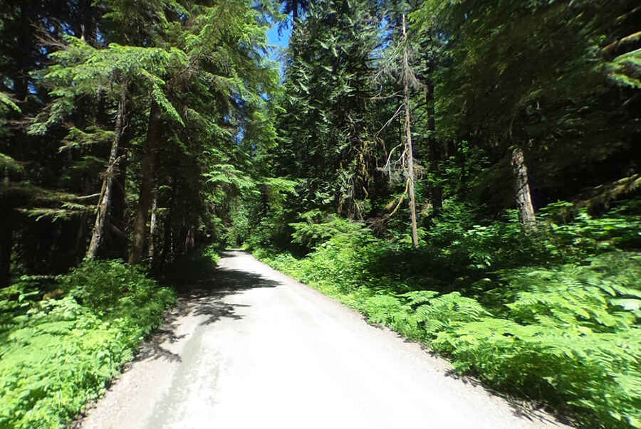
Driving the scenic Mountain Loop Highway in WA
Mountain Loop Highway is the name of a very scenic drive located in Snohomish County, in the US state of Washington.

How long is the Mountain Loop Highway in Washington?
The road is 84.49km (52.5 miles) long running from Granite Falls, between the Pilchuck and Stillaguamish rivers, to Darrington.
How much of the Mountain Loop Highway is unpaved?
The road is mostly paved. It is paved at both ends and the middle portion around Barlow Pass (14 miles-21 km) is a single-lane gravel road running through town sites and abandoned claims, as well as rushing rivers and glacier-clad peaks.
Is the Mountain Loop Highway open in Washington state?
Set high on the western section of the Cascade Range, the road tops out by Barlow Pass, at 718m (2,355ft) above the sea level. It’s seasonally closed from the Deer Creek gate to the Bedal gate near the Bedal Campground in November or December, depending on weather, and generally reopens in May. Keep in mind these are the mountains: Snow and ice are not restricted to winter.
Do I need a 4wd vehicle to drive Mountain Loop Highway?
The Mountain Loop Highway (Forest Route 20) is navigable by most passenger vehicles if you take your time, but always err on the side of caution. Construction of the road started in 1936 by the Civilian Conservation Corps and the road was completed in 1941.